Yakushima Shiratani Unsuikyo: Hiking the Granite Gorge and Moss Forest
Walk through Shiratani Unsuikyo's granite boulder gorges, historic Kusugawa stone paths, and hundreds of bryophyte species up to the Taiko-iwa ridge.
Field Warnings & Critical Traps to Avoid
Rapid stream rises, Yayoi-sugi trail status, and scarce return bus runs.
Flash Flood Hazard in Unbridged Stream Crossings
Yakushima receives 4,000 to 8,000 mm of annual rainfall. Shallow mountain fords crossing the granite path can swell into fast, muddy torrents within 30 minutes during cloudbursts; turn back immediately if water rises.
Yayoi-sugi Collapsed in Aug 2024; Check Trail Alerts & Pack Real Rain Gear
The 3,000-year-old Yayoi-sugi cedar snapped at its base during Typhoon Shanshan in August 2024, and sections of the Yayoi-sugi loop remain restricted (check y-rekumori.com before setting out). Skip disposable ponchos—torrential rain penetrates thin plastic; wear a two-piece waterproof shell and high-traction hiking boots.
Only 4–5 Daily Buses from Miyanoura; Last Bus Around 16:00–16:10
Buses between Miyanoura Port and Shiratani Unsuikyo run only 4–5 times daily, with the final downhill departure around 16:00–16:10. Prepare exact coins or 1,000 JPY bills (drivers cannot break 5,000/10,000 JPY notes, and cell reception at the ravine is weak).
Rising abruptly to nearly 2,000 meters south of Kyushu, Yakushima traps warm moisture from the Kuroshio Current to produce 4,000 to 8,000 millimeters of rain annually, sustaining temperate rainforests famous for long-lived Yakusugi cedars (trees over 1,000 years old). Located between 600 and 1,050 meters elevation above Miyanoura, Shiratani Unsuikyo combines granite boulder streams, Edo-era stone paving along the Kusugawa logging path, and bryophyte-blanketed groves. Note that the famous 3,000-year-old Yayoi-sugi snapped during Typhoon Shanshan in August 2024, keeping its short side spur under closure—hikers today focus on the Kusugawa trail, Kokemusu-mori (Moss Forest), and the climb up to Taiko-iwa.
Getting there requires a ~2-hour hydrofoil crossing from Kagoshima Port to Miyanoura Port followed by a 30-minute local bus (560 JPY one-way, cash only; drivers cannot change large bills, and IC cards do not work). A 800 JPY forest conservation cooperation fee is collected at the trailhead hut. Because return buses depart only 4 to 5 times daily—with the final afternoon departure around 16:00–16:10—and mobile coverage drops inside the gorge, plan a morning ascent and bring proper two-piece waterproof rainwear, lug-soled hiking boots, and long pants to protect against summer land leeches (yamahiru) and slick granite roots.
Step-by-Step Visual Route & Timestamps
Follow our exact on-the-ground walking pace and timestamps. Click any photo or stop title to open rich multi-photo galleries, field tips, and expanded logistical guides.
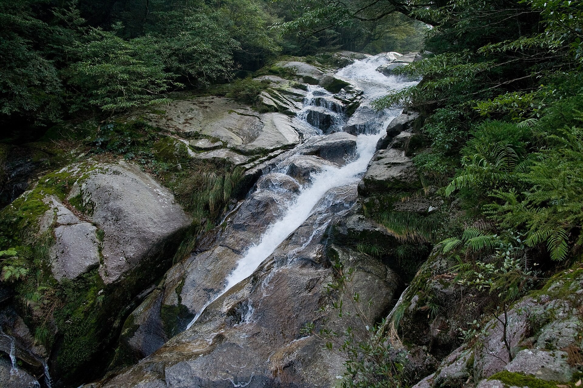
Granite boulders and clear rushing stream waters beneath the Shiratanigawa suspension bridge at the trailhead. · Photo: 屋久島観光協会 (yakukan.jp)
Start at the administration hut (800 JPY conservation fee, elevation 600 m) and cross the wooden suspension bridge over Shiratanigawa. Clear mountain water drops steeply across large granite boulders flanked by evergreen broadleaf trees.
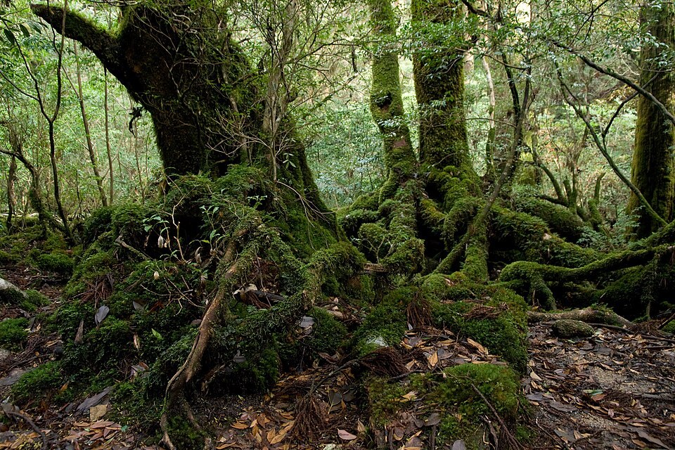
Knotted buttress roots of an old-growth Yakusugi cedar gripping granite boulders along the Kusugawa route. · Photo: Σ64 (CC BY 3.0 via Wikimedia Commons)
Follow the Kusugawa Trail, an Edo-period stone-paved logging and transport path climbing past moss-covered Yakusugi cedars and massive hand-felled stumps (note the nearby Yayoi-sugi loop remains restricted after the tree fell in the August 2024 typhoon).
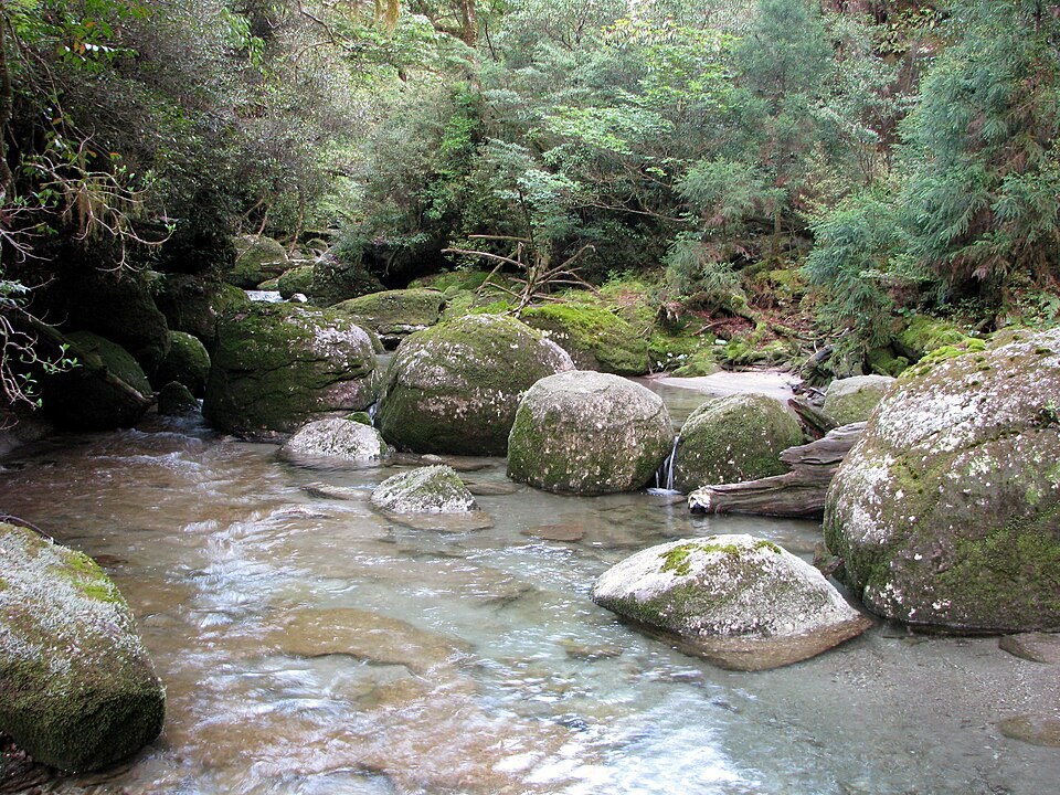
Thick bryophyte mats blanketing fallen logs and granite boulders inside Kokemusu-mori. · Photo: Chris 73 (CC BY-SA 3.0 via Wikimedia Commons)
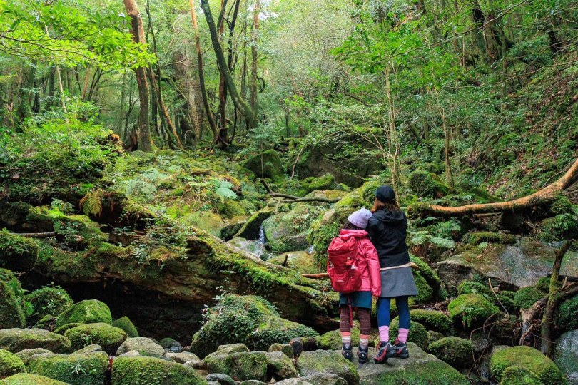
Enter Kokemusu-mori, where over 600 species of bryophytes thrive in high humidity, enveloping granite boulders, exposed cedar roots, and nurse logs—an aesthetic reference for Studio Ghibli's Princess Mononoke.
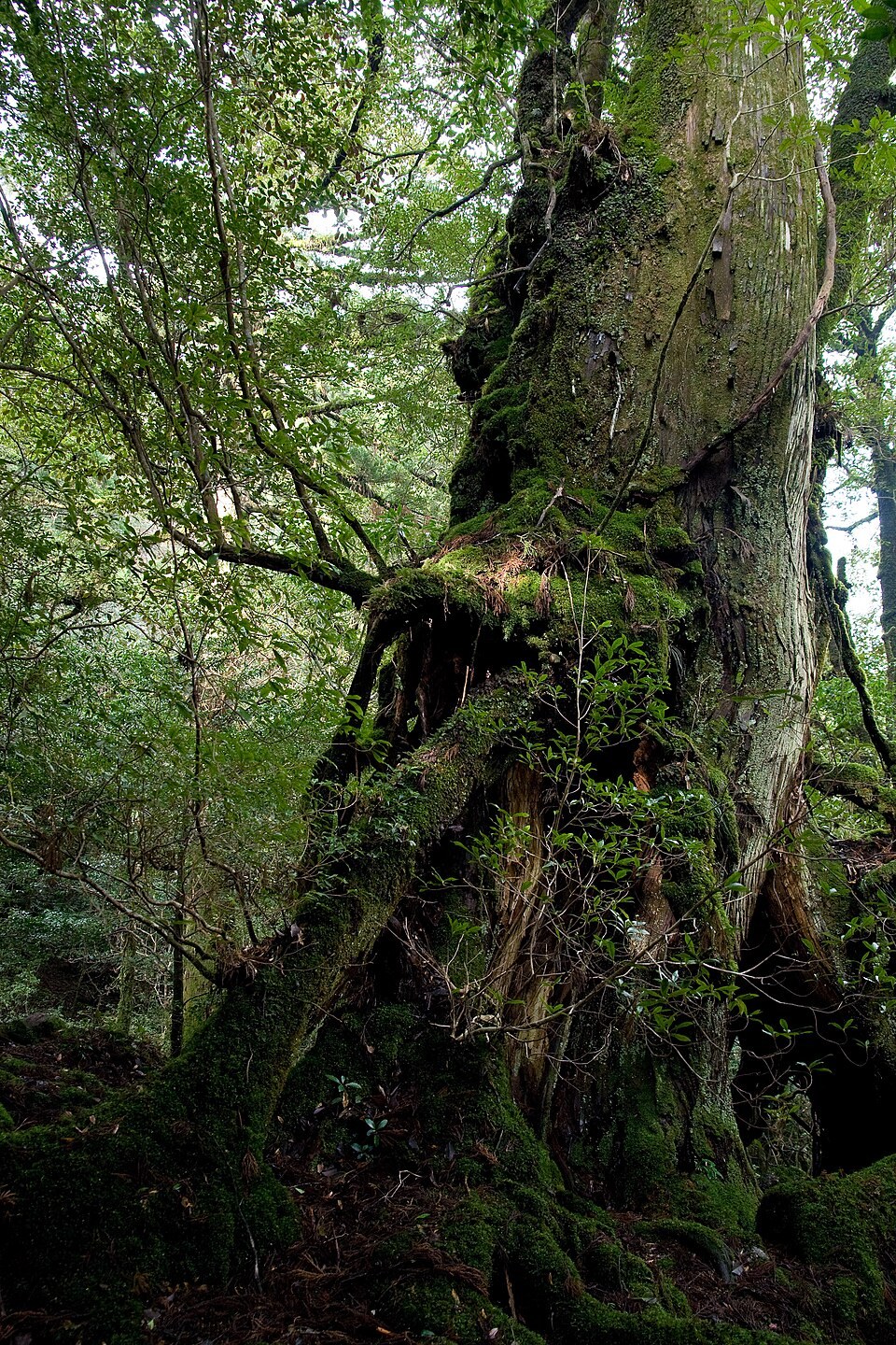
Hollow moss-clad cedar trunk forming a natural archway above hikers along the upper ravine trail. · Photo: Σ64 (CC BY 3.0 via Wikimedia Commons)
Climb over exposed granite outcrops and thick root staircases past hollow century-old cedars like Kuguri-sugi to reach Tsuji-toge Pass, the main ridge junction branching toward Taiko-iwa Rock.
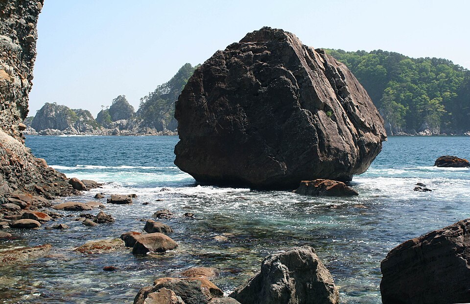
Exposed granite monolith of Taiko-iwa perched high above the forested Anbo River gorge. · Photo: Yasu (CC BY-SA 3.0 via Wikimedia Commons)
Complete the final steep rope-assisted climb onto Taiko-iwa (elevation ~1,050 m), a sloping exposed granite slab jutting over the Anbo River gorge with wide views of Mount Miyanoura (1,936 m).
Interactive Location & Route Map
Many rural Asian landmarks don’t appear when searching English spellings in Google Maps. Click any numbered stop on the map below or tap the button above to open the exact latitude/longitude pin on your phone.
Frequently Asked Questions
Which is better for a day hike: Jomon Sugi or Shiratani Unsuikyo?
Shiratani Unsuikyo suits a 4–5 hour half-day hike with varied granite streams, mossy forests, and the open Taiko-iwa viewpoint. Jomon Sugi requires a strenuous 10–11 hour round-trip trek—mostly on a flat old logging track—just to view one fenced tree from a wooden platform.
Are there snakes or leeches in Shiratani Unsuikyo?
While habu vipers are absent from Yakushima, venomous mamushi pit vipers and yamakagashi snakes inhabit the island, and land leeches (yamahiru) are active during warm damp months from May to October. Wear long sleeves, tuck pants into socks, keep on cleared trails, and never feed wild Yakushika deer or Yakuzaru macaques.
Field Verification & Non-Sponsored Standards
This travel dispatch was researched exclusively through public transport (trains, local branch buses, ferries) and foot exploration. Uncharted Asia accepts zero commercial sponsorships, free stays, or sponsored meals. Timetables, fare gates, and mountain trail conditions are independently verified against physical operator timetables. Learn more in our Editorial Methodology.