Kamakura & Hayama Coastal Route: 3 Days Along the Enoden Line and Sagami Bay
Roughly an hour from Tokyo on the JR Yokosuka Line, this 3-day route pairs North Kamakura temples and Tsurugaoka Hachimangu with Day 2 along the Enoden coastal tramline to Hasedera and Shichirigahama, finishing on Day 3 at Hayama's Isshiki Beach and Morito Shrine for Mount Fuji at sunset.
Field Warnings & Critical Traps to Avoid
Peak-hour rail crowds, coastal raptor safety, and temple/park opening hours.
Afternoon Enoden Congestion Between Kamakura & Hase
Between 13:00 and 16:30 on weekends, Enoden trains from Kamakura toward Hase often reach full capacity with boarding queues. Visit North Kamakura in the morning and walk the residential lanes between Hase and Gokurakuji for a faster afternoon pace.
Do Not Eat While Walking Along the Shonan Coast (Black Kites)
Black kites patrol Yuigahama, Shichirigahama, and the Hayama shoreline and will dive from behind to snatch open rice balls or bread straight from your hand. Always eat under a covered shelter or indoors.
Meigetsu-in Opening Hours & Hayama Shiosai Park Closed Days
Meigetsu-in normally opens at 09:00 (opening early at 08:30 only during June hydrangea season); arrive 10 minutes before gate opening to view the round window with minimal wait. Hayama Shiosai Park is closed Mondays and the day after national holidays.
Kamakura is one of the easiest historic capitals to reach from central Tokyo, yet most day-trippers pack into Komachi-dori and Enoden platforms on weekend afternoons before heading back before dusk. Stretching the trip across 3 days and 2 nights lets you stagger peak hours—visiting North Kamakura temples right after gates open, walking the quiet residential lanes between Hase and Gokurakuji, and continuing south to Hayama’s less crowded shoreline.
No rental car is required: the entire route links together via the JR Yokosuka Line, the single-track Enoden coastal railway, and Keikyu coastal buses out of JR Zushi Station, moving smoothly from stone temple stairways to gravelly beaches and low-tide volcanic reefs along Sagami Bay.
Step-by-Step Visual Route & Timestamps
Follow our exact on-the-ground walking pace and timestamps. Click any photo or stop title to open rich multi-photo galleries, field tips, and expanded logistical guides.
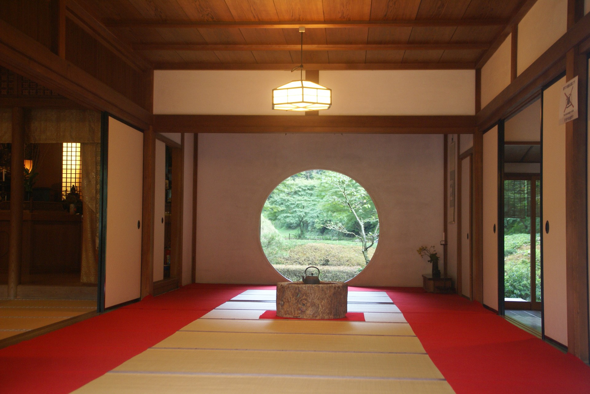
The circular "Satori no Mado" window in Meigetsu-in's main hall framing the seasonal garden outside. · Photo: Wikimedia Commons
Exit JR Kita-Kamakura Station and walk about 10 minutes to Meigetsu-in (500 JPY admission). Arriving shortly after the 09:00 opening keeps crowds light, giving space in front of the main hall to view the 1-meter circular Satori no Mado window framing the dry garden and bamboo beyond; in late May and June, thousands of Hime-ajisai hydrangeas line the grounds.
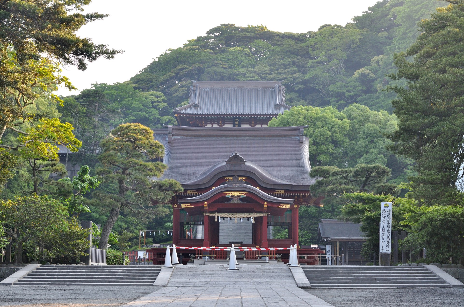
Vermilion Maiden pavilion, 61-step stone staircase, and main shrine hall of Tsurugaoka Hachimangu. · Photo: Wikimedia Commons
Take the JR Yokosuka Line one stop to Kamakura or walk roughly 25 minutes south, entering the shrine along Wakamiya-oji. Pass the lotus-filled Genji Pond on the east and Heike Pond on the west before climbing the steep 61-step stone stairway to the upper vermilion hall and looking back toward Sagami Bay.
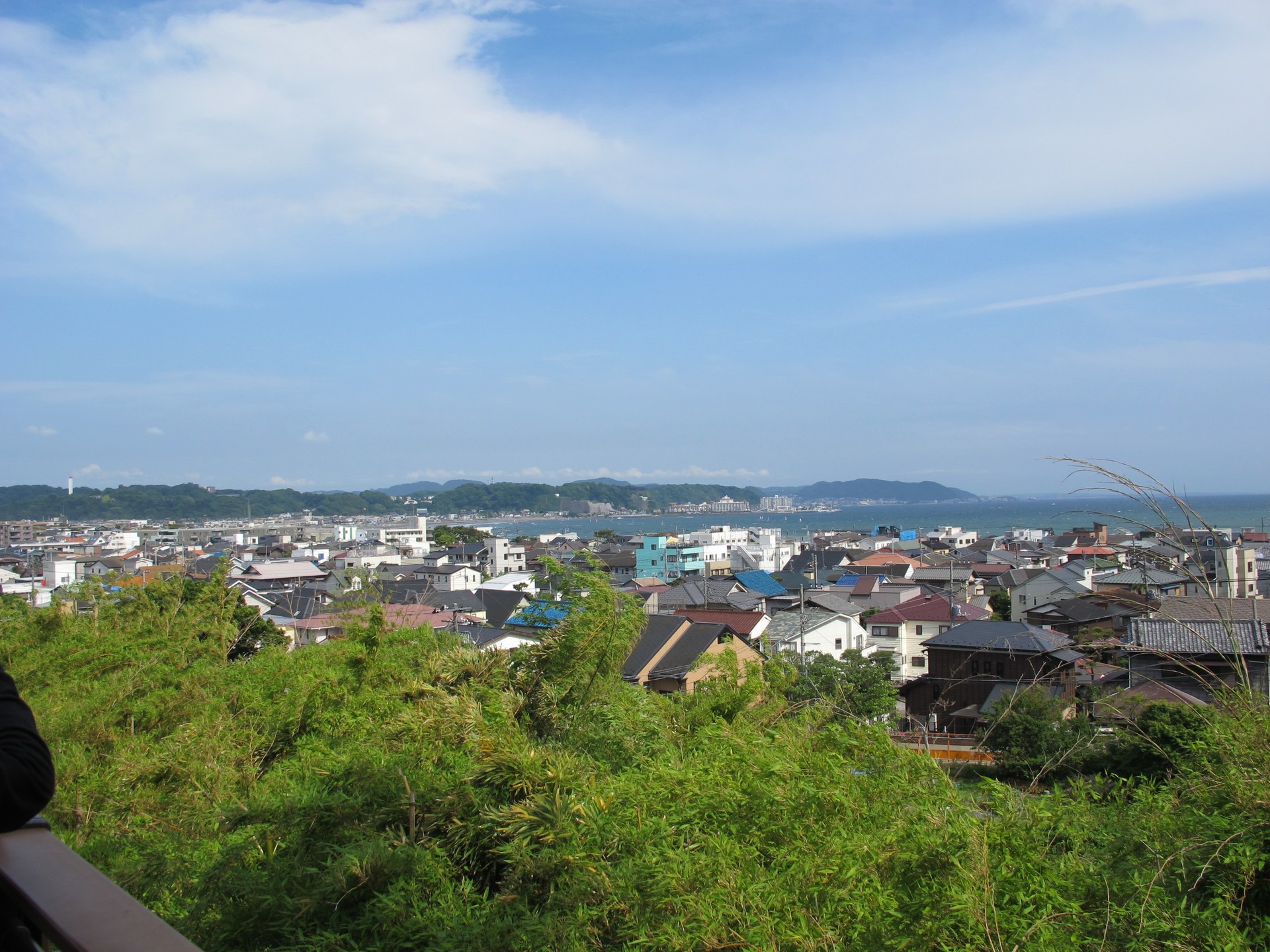
View from Hasedera's Miharashidai deck across Kamakura's low tiled roofs and the arc of Yuigahama Bay. · Photo: Wikimedia Commons
Ride the Enoden to Hase Station and walk 5 minutes into Hasedera (400 JPY admission). Inside Kannon-do Hall stands the 9.18-meter gilded wooden Eleven-Headed Kannon statue; just outside, the Miharashidai terrace overlooks Kamakura's tiled houses, the sandy arc of Yuigahama Beach, and Sagami Bay.
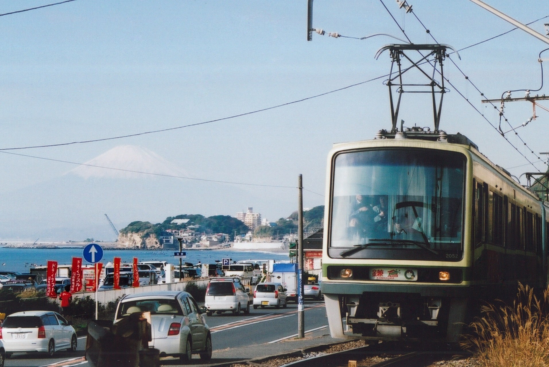
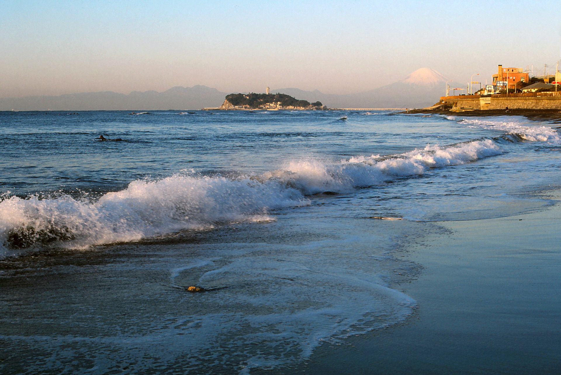
Green-and-cream Enoden train running along the Shichirigahama coastal tracks with snow-capped Mount Fuji in the distance. · Photo: Wikimedia Commons
Stroll the quiet lanes from Hase or ride one stop to wooden Gokurakuji Station, named one of Kanto's 100 notable stations, then continue toward Shichirigahama. Here the single-track line hugs house eaves and coastal Route 134; step down onto the Shichirigahama seawall stairs to watch green-and-cream trains pass in front of Enoshima and Mount Fuji.
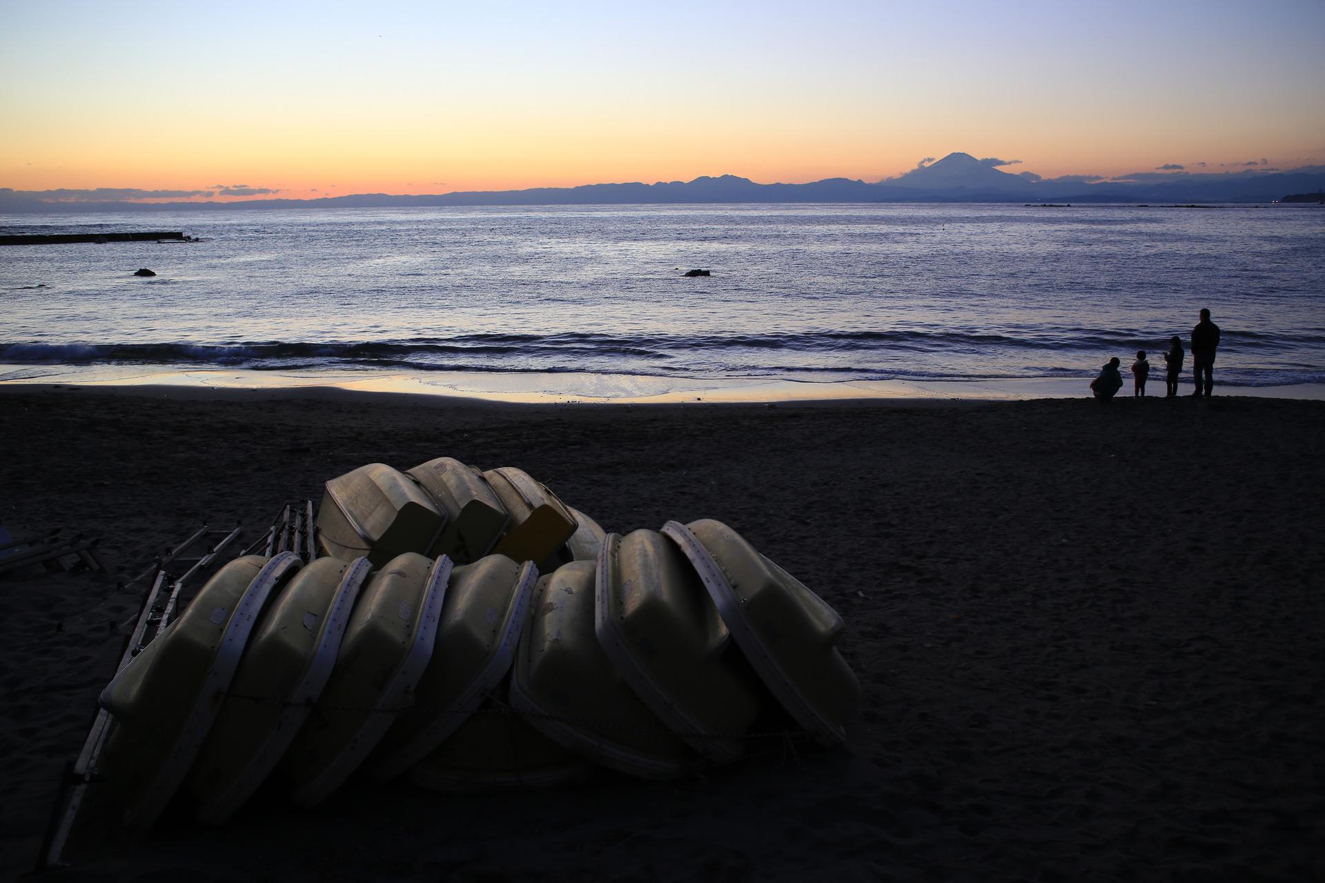
Calm waters of Sagami Bay and boats stacked along the dark sand of Hayama's Isshiki Beach. · Photo: Wikimedia Commons
From Kamakura, ride the JR Yokosuka Line 1 stop to Zushi Station and transfer to the Keikyu bus bound for Hayama via the coast route ("Kaigan Mawari Hayama-yuki") for ~18 minutes to "Isshiki Kaigan." Adjacent to the Hayama Imperial Villa grounds, Hayama Shiosai Park (300 JPY, 08:30–17:00, closed Mondays and the day after national holidays) preserves a coastal black-pine stroll garden and small marine museum next to the gravelly beach.
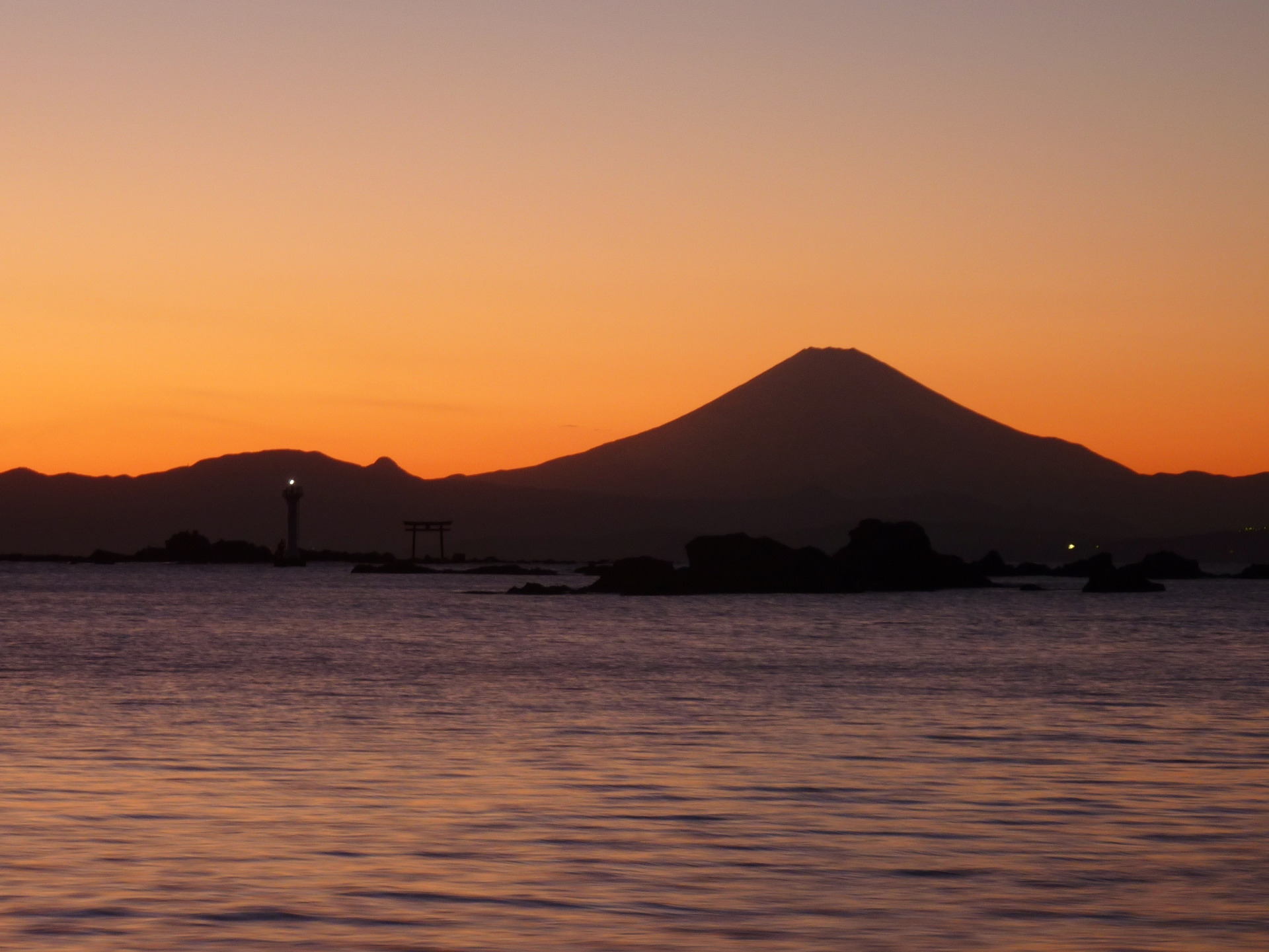
Sunset silhouette from Morito Coast framing the Najima offshore torii gate, Hayama Lighthouse, and Mount Fuji. · Photo: Wikimedia Commons
Head north along the coast by foot or local bus to Morito Shrine (Morito Daimyojin), founded in 1180 by Minamoto no Yoritomo. Walk onto the coastal reefs behind the main hall to see the vermilion torii gate and white Yujiro Lighthouse standing on Najima islet roughly 700 meters offshore; on clear autumn and winter evenings, Mount Fuji rises directly behind them.
Interactive Location & Route Map
Many rural Asian landmarks don’t appear when searching English spellings in Google Maps. Click any numbered stop on the map below or tap the button above to open the exact latitude/longitude pin on your phone.
Frequently Asked Questions
How convenient is public transit for visiting Kamakura and Hayama without a car?
Very convenient. Direct JR Yokosuka Line and JR Shonan-Shinjuku Line trains connect Tokyo with Kamakura, the Enoden tramline covers the coast on an 800 JPY 1-day pass, and frequent Keikyu coastal buses link JR Zushi Station directly to Hayama.
How many days are recommended for this Kamakura and Hayama itinerary?
Plan 3 Days and 2 Nights so you can visit North Kamakura temples, the Enoden coast, and Hayama beaches in separate unhurried blocks while sidestepping peak weekend afternoon day-tripper congestion.
Field Verification & Non-Sponsored Standards
This travel dispatch was researched exclusively through public transport (trains, local branch buses, ferries) and foot exploration. Uncharted Asia accepts zero commercial sponsorships, free stays, or sponsored meals. Timetables, fare gates, and mountain trail conditions are independently verified against physical operator timetables. Learn more in our Editorial Methodology.