Kumano Kodo Daimon-zaka: Walking the Sacred Cedar Slope to Nachi Falls
Climb 267 moss-covered stone steps beneath ancient cryptomeria along Japan’s Nakahechi pilgrimage trail to Kumano Nachi Taisha, Seiganto-ji, and the 133-meter Nachi Falls.
Field Warnings & Critical Traps to Avoid
Slippery mossy cobblestones, heavy Pacific rainfall, and hourly evening buses.
Perpetually Damp & Slippery Cobblestones Along Daimon-zaka
Dense cedar canopy and Kii Peninsula humidity keep Daimon-zaka's uneven stones slick even in fair weather. Smooth-soled casual sneakers have poor grip—wear lugged hiking shoes and use trekking poles when descending.
Reduced Bus Departures After 16:00 Toward Kii-Katsuura
Afternoon return services from Nachi-no-Taki-mae and Nachisan slow significantly after 16:00 and conclude around 17:30–18:00. Photograph the bus stop timetable at arrival to avoid getting stranded uphill after dusk.
Protect Red-Seal Pilgrim Books From Sudden Squalls
Southern Wakayama records some of Japan's highest annual rainfall. Pack waterproof covers for packs and store handmade washi goshuin stamp books inside sealed pouches before ascending.
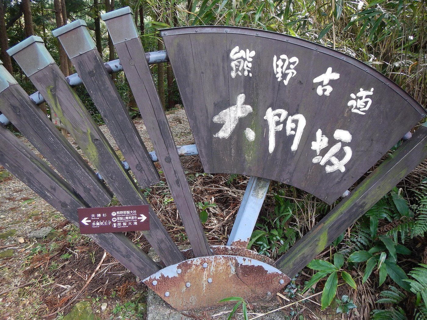
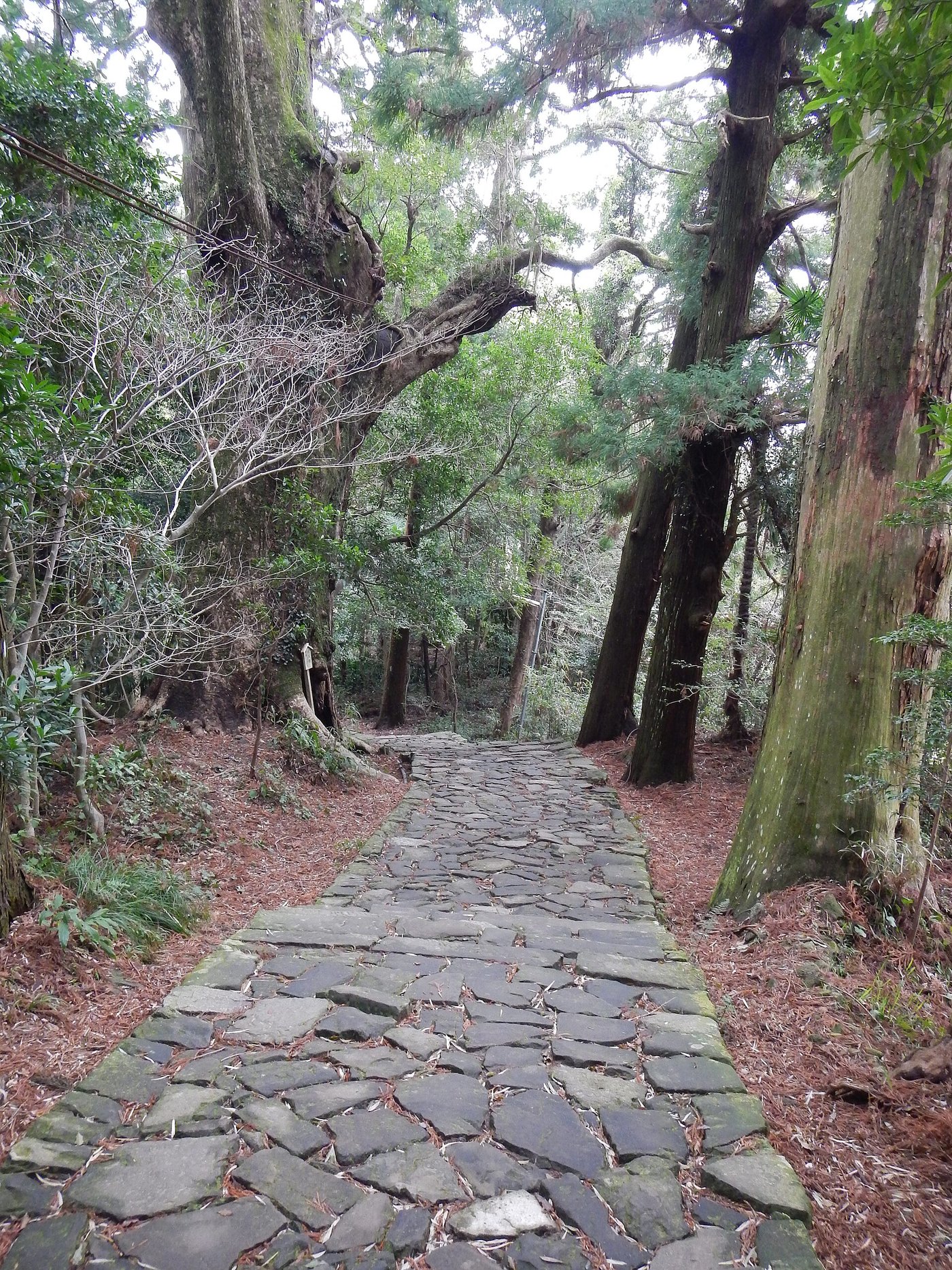
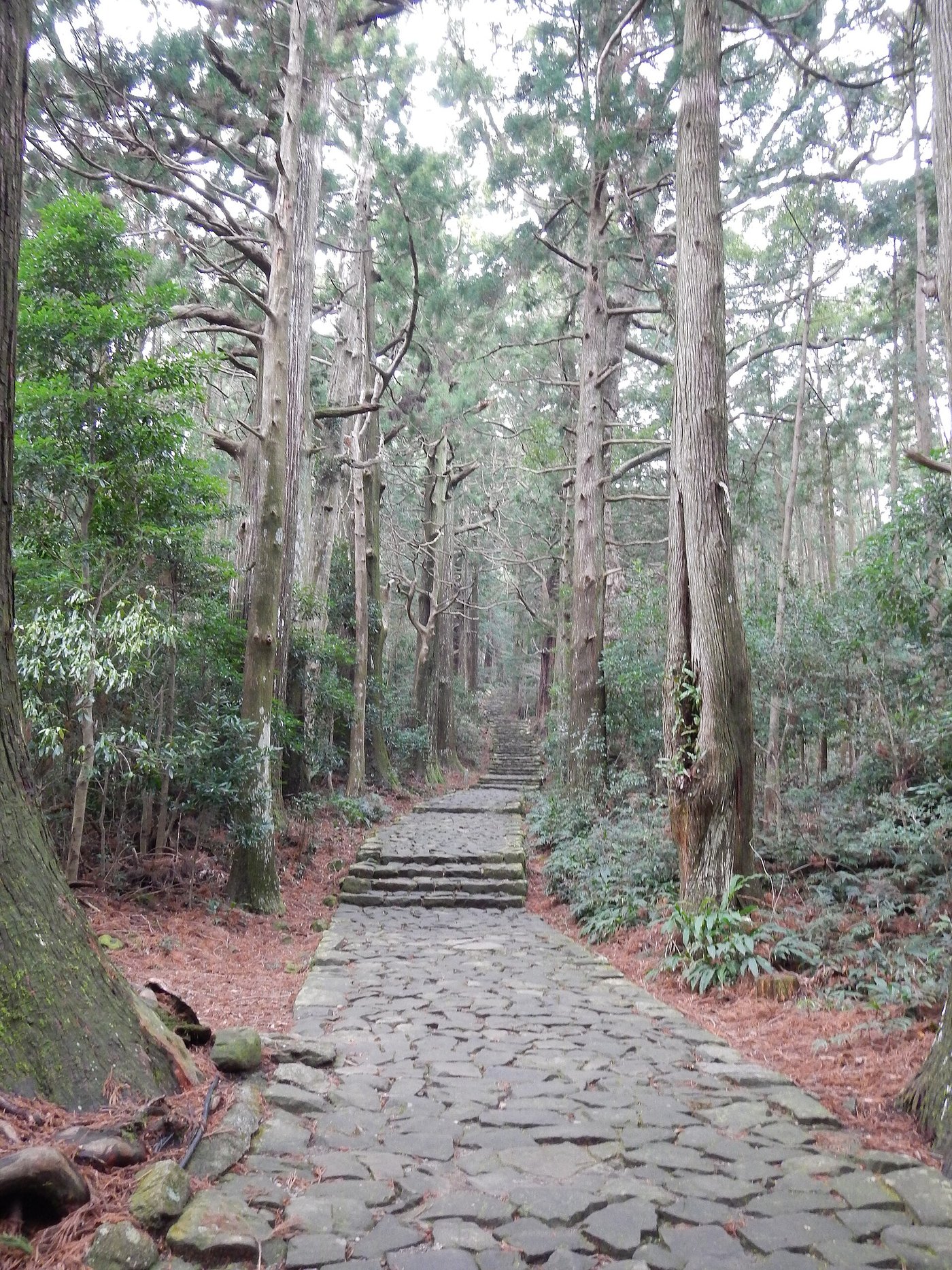
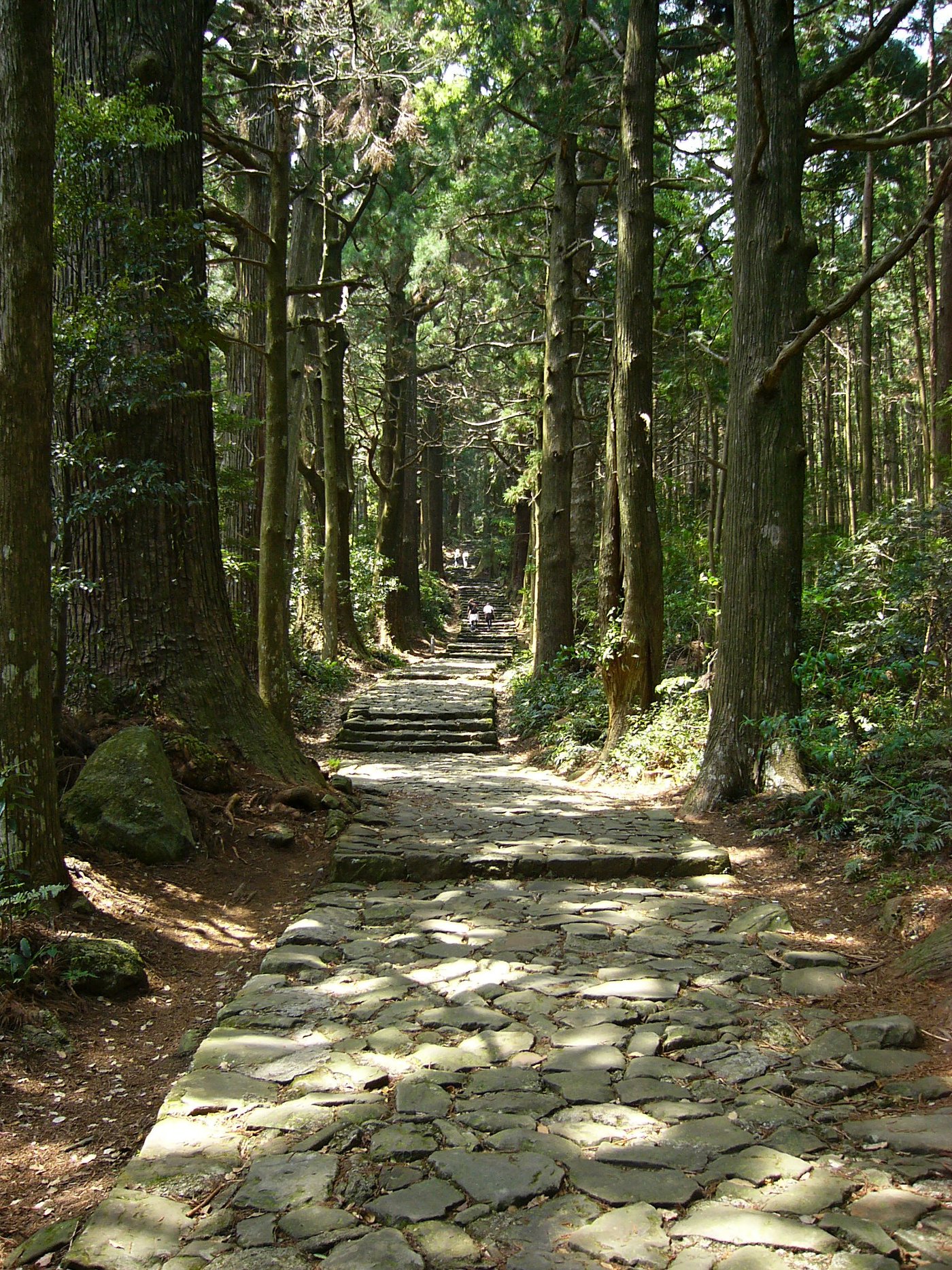
Part of the UNESCO World Heritage Kumano Kodo Nakahechi pilgrimage corridor in southern Wakayama Prefecture, Daimon-zaka preserves a 600-meter ribbon of 267 moss-dressed cobblestones leading toward Japan’s sacred Nachi mountain sanctuaries. Stepping across Furigase-bashi Bridge off prefectural road traffic, travelers stand directly between the intertwined roots of the 800-year-old Meoto Sugi (“Husband and Wife Cedars”) before climbing quietly beneath nearly 300 soaring Yoshino cryptomeria trees.
Access begins via JR West’s Limited Express Kuroshio from Osaka down the Kii coastline to Kii-Katsuura Station (~3.5–4 hrs), transferring onto the Kumano Gobo Nankai Bus (~20 mins) right to the “Daimon-zaka” bus stop. Walking uphill from Daimon-zaka toward Kumano Nachi Taisha (continuing up the 467 temple-approach stairs) is far safer than descending the perpetual moss dampness on foot; high-traction trail footwear is essential given the peninsula’s 3,000 mm+ annual rainfall.
At the summit ridge, Kumano Nachi Taisha and Tendai Buddhist Seiganto-ji Temple showcase intact pre-Meiji Shinbutsu-shugo syncretic architecture. Pay 500 JPY (300 JPY students) to ascend inside Seiganto-ji’s vermilion Three-Story Pagoda for elevated views framing Nachi Falls, then follow the shaded 15-minute descent to Hiro-jinja Shrine, where the 133-meter single-drop waterfall is worshipped directly as a living kami, before catching your return bus straight from the “Nachi-no-Taki-mae” loop stop before dusk.
Step-by-Step Visual Route & Timestamps
Follow our exact on-the-ground walking pace and timestamps. Click any photo or stop title to open rich multi-photo galleries, field tips, and expanded logistical guides.
The 800-year-old twin Meoto Sugi cedars welcoming pilgrims onto the Daimon-zaka cobblestone stairway. · Photo: Wikimedia Commons (CC BY-SA 4.0)
Walk uphill past Furigase-bashi Bridge into a shaded grove of nearly 300 mature Yoshino cedars, camphor trees, and bamboo. At the stone stairway's threshold stand the twin Meoto Sugi ("Husband and Wife Cedars"), whose joined root system spans over eight centuries above the 600-meter climb.
Vermilion Three-Story Pagoda of Seiganto-ji framed against plunging Nachi Falls across the primeval gorge. · Photo: Wikimedia Commons (CC BY-SA 4.0)
Complete the final climb up the 467 approach stairs past souvenir stalls to reach the hilltop plateau where Shinto Kumano Nachi Taisha stands shoulder to shoulder with Tendai Buddhist Seiganto-ji Temple. Walk east past Seiganto-ji's main hall to frame the bright vermilion Three-Story Pagoda against Nachi Falls plunging across the forested valley.
133-meter single-drop column of Nachi Falls pouring straight down the cliff at Hiro-jinja. · Photo: Wikimedia Commons (CC BY-SA 4.0)
Descend the quiet stone steps from Seiganto-ji along a shaded cedar lane toward Hiro-jinja Shrine, where no separate shrine building exists—the 133-meter plunging waterfall itself serves directly as the sacred object of worship ("goshintai").
Interactive Location & Route Map
Many rural Asian landmarks don’t appear when searching English spellings in Google Maps. Click any numbered stop on the map below or tap the button above to open the exact latitude/longitude pin on your phone.
Frequently Asked Questions
Is walking downhill or uphill better at Daimon-zaka?
Walking uphill from the Daimon-zaka bus stop toward Nachi Taisha and then descending to Nachi Falls ("Nachi-no-Taki-mae") to catch the bus down is strongly recommended. Descending Daimon-zaka's damp, irregular mossy stones carries a much higher slipping risk than climbing uphill.
Can travelers visit Daimon-zaka and Nachi Falls as a day trip from Osaka?
Technically possible via the earliest 07:30-range JR Kuroshio express (~3.5 to 4 hrs each way), leaving ~4 hours on site before late afternoon express departures. However, spending one night in Kii-Katsuura's oceanfront onsen port lets you enjoy early-morning Daimon-zaka serenity without rushed transfers.
Field Verification & Non-Sponsored Standards
This travel dispatch was researched exclusively through public transport (trains, local branch buses, ferries) and foot exploration. Uncharted Asia accepts zero commercial sponsorships, free stays, or sponsored meals. Timetables, fare gates, and mountain trail conditions are independently verified against physical operator timetables. Learn more in our Editorial Methodology.