Ulleungdo Island Guide: Haengnam Coastal Cliffs, Taeha Monorail & Nari Basin
Trace turquoise volcanic sea cliffs east of Dodong Port, ride the Taeha monorail above Daepunggam, and cross into Nari Caldera's mountain herb farms.
Field Warnings & Critical Traps to Avoid
Ferry swell cancellations, cliffside gate closures, and exposed steel spiral stairs.
East Sea Swells Frequently Cancel Fast Ferries; Keep Backup Time
Rough waves frequently suspend 3-hour high-speed catamarans out of Pohang, Gangneung, and Mukho, occasionally stranding visitors on the island an extra day. The 20,000-ton overnight Ulleung Cruise operates in rougher seas, though typhoons still halt all sailings.
Haengnam Coastal Walk Closes Automatically Under High Surf Alerts
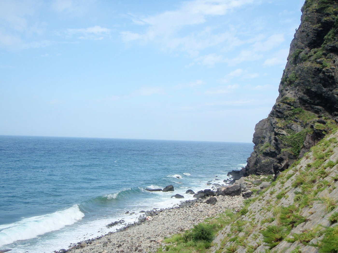
The cliffside section of the Haengnam trail hugs just meters above crashing East Sea waves. Whenever wave height alerts exceed ~2–2.5 meters or typhoon aftermaths require rockfall inspection, steel gates shut the entire coast route—recheck status at Dodong tourist center before walking.
Steep Multi-Story Steel Spiral Staircase Near Dodong Lighthouse
Between Haengnam lighthouse headland and Jeodong coastal bridge, hikers descend a tall, exposed cylindrical steel spiral staircase bolted to the basalt cliff face. Carry backpacks securely, use handrails, and evaluate if you suffer from severe acrophobia.
Rising sheer from deep East Sea waters roughly 130 kilometers off South Korea’s eastern coastline, Ulleungdo is a steep Cenozoic volcanic island forged by submerged eruptions, jagged basalt sea arches, and one remarkably flat upland caldera floor. After the Joseon Dynasty enforced its four-century Empty Island Policy to shield residents from coastal raids, King Gojong’s 1882 Reclamation Edict repopulated these slopes—leaving intact volcanic fishing harbors alongside distinct snow-shielded timber architecture inside the central mountains.
Because no commercial airport currently operates on the island, your itinerary hinges on East Sea crossings. Choose between ~3-hour fast catamarans sailing from Pohang, Gangneung, or Mukho into Dodong Port, or the far steadier ~6.5-hour overnight sailing aboard the 20,000-ton Ulleung Cruise from Pohang Yeongilman Port into Sadong Port. Build at least 3 days and 2 nights around sea conditions: rough East Sea swells frequently suspend fast boats and automatically lock shoreline gates along exposed cliff trails.
Begin Day 1 morning directly beside Dodong Port on the Haengnam Coastal Walk, an engineering boardwalk pinned onto volcanic tuff cliffs above translucent shallows and linked to Dodong Lighthouse via an exposed multi-story steel spiral staircase. On Day 2, ride T-money island circle buses northwest to Taeha, climb steeply aboard the Taeha Hyangmok Tourist Monorail (4,000 KRW round-trip) to the dramatic Daepunggam Cliff overlooking Gongam sea pillar, then continue through Cheonbu up into Nari Basin to inspect traditional bark-wrapped Tumakjib winter homes and sample fragrant wild myeonginamul and mountain-herb sanchae bibimbap.
Step-by-Step Visual Route & Timestamps
Follow our exact on-the-ground walking pace and timestamps. Click any photo or stop title to open rich multi-photo galleries, field tips, and expanded logistical guides.
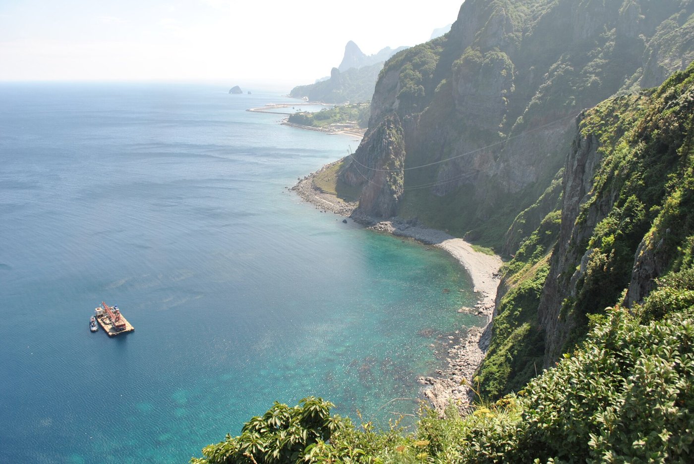
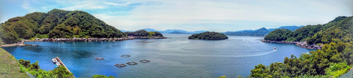
Pedestrian cliffside bridge linking volcanic rock headlands above clear East Sea waters along Haengnam Walk. · Photo: Wikimedia Commons (CC BY-SA 3.0)
Start right at Dodong Port's eastern seafront edge onto the Haengnam Coastal Walk, an engineering path bolted straight into reddish-black volcanic tuff and basalt sea cliffs above crystal-clear East Sea shallows. Trace suspension footbridges over sea caves before climbing toward Dodong Lighthouse and Jeodong's candle-rock bay.
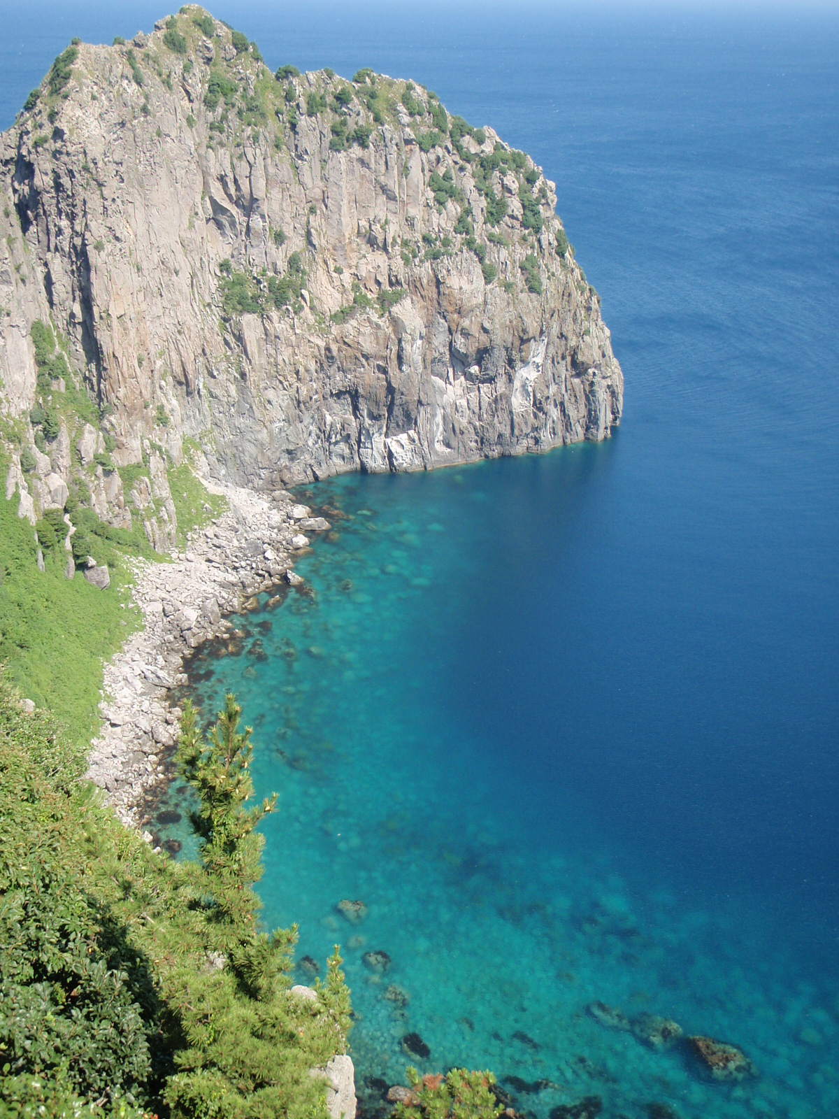
Vertical basalt cliffs of Daepunggam overlooking western Ulleungdo sea stacks and deep turquoise cove waters. · Photo: Wikimedia Commons (CC BY 2.0)
On Day 2 morning, take the coastal island circle bus westward to Taeha and board the Taeha Hyangmok Tourist Monorail (4,000 KRW round-trip, ~6 minutes uphill at steep gradient) to the upper pine forest plateau. Walk 15 minutes past wild camellias to the Daepunggam headland cliff overlooking coastal sea pillars and golden waters.
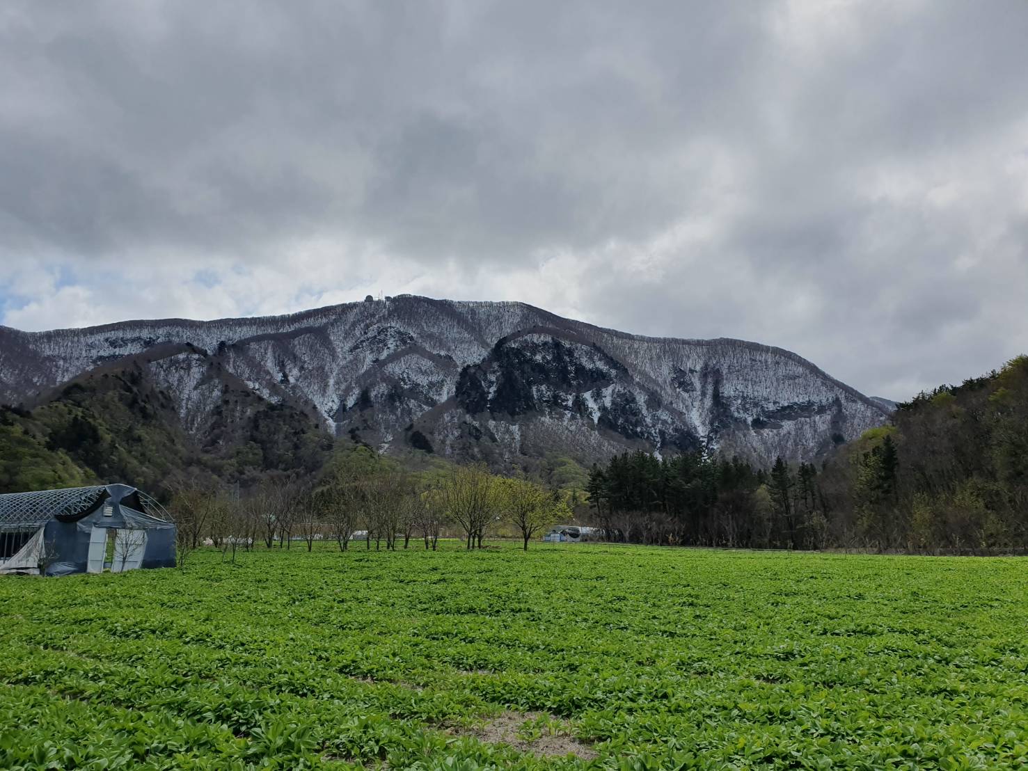
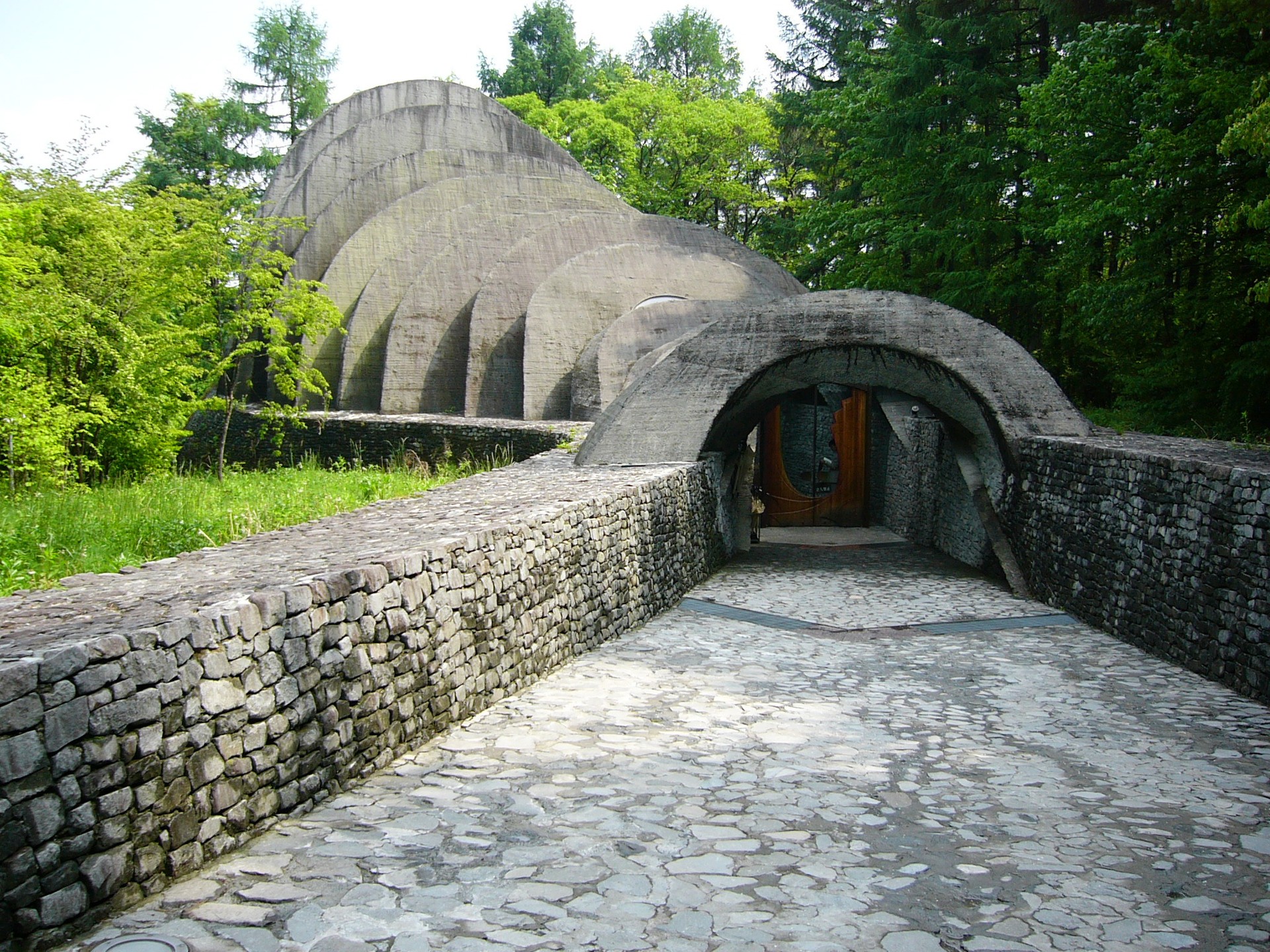
Traditional Ulleungdo Tumakjib house nested inside the flat caldera floor of forested Nari Basin. · Photo: Wikimedia Commons (CC BY-SA 4.0)
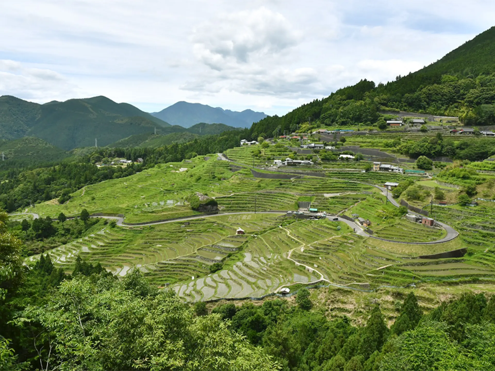
Continue across northern Cheonbu Port upward via steep switchbacks into Nari Basin, Ulleungdo's only natural expanse of flat farmland lying inside an ancient volcanic caldera rim at 300 meters elevation. Inspect rare "Tumakjib" wood-and-thatch snow houses built by 19th-century settlers and dine on wild mountain herb dishes grown in rich volcanic soil.
Interactive Location & Route Map
Many rural Asian landmarks don’t appear when searching English spellings in Google Maps. Click any numbered stop on the map below or tap the button above to open the exact latitude/longitude pin on your phone.
Frequently Asked Questions
What is the smoothest way to prevent seasickness on the ferry to Ulleungdo?
If prone to seasickness, skip smaller 3-hour high-speed catamarans and book the 20,000-ton overnight Ulleung Cruise from Pohang Yeongilman Port (~6.5 hours to Sadong Port). Its large hull handles East Sea swells calmly and saves a night's hotel cost with sleeping cabins onboard.
Can visitors explore Ulleungdo by public bus without renting a car?
Yes. Ulleungdo's coastal ring road connects Dodong, Sadong, Taeha, and Cheonbu reliably with T-money tap-to-pay buses, plus a feeder route climbing from Cheonbu up into Nari Basin. Watch departure timetables posted at Cheonbu Terminal so you do not miss the final evening return coach.
Field Verification & Non-Sponsored Standards
This travel dispatch was researched exclusively through public transport (trains, local branch buses, ferries) and foot exploration. Uncharted Asia accepts zero commercial sponsorships, free stays, or sponsored meals. Timetables, fare gates, and mountain trail conditions are independently verified against physical operator timetables. Learn more in our Editorial Methodology.