Geumodo Bireong-gil: Cliffside Coastal Trekking Across Yeosu’s Outer Archipelago
Cross by 25-minute ferry from Dolsan Singi Port to hike ancient cliff-edge herb foraging paths cantilevered above South Sea swells in Dadohaehaesang National Park.
Field Warnings & Critical Traps to Avoid
Exposed 80-to-100-meter cliff drop-offs, zero mid-trail water kiosks, and early last ferries.
Unfenced Cliff Ledges & Fierce Sea Gusts Along Exposed Headlands
Many dramatic rock outcrops along Courses 1 and 3 sit 80 to 100 meters straight above crashing South Sea breakers without continuous metal fences. Never climb beyond protective wooden rails in coastal gusts.
Zero Convenience Stores or Vending Along Intermediate Cliff Sections
Apart from Hamgumi, Jikpo, and Hakdong village endpoints, Bireong-gil traverses uninhabited forest and cliff reserves with zero water fountains or food kiosks. Pack at least 1.5 L of water and trail snacks at the harbor before starting.
Sparse Return Ferry Departures to Dolsan Mainland After Late Afternoon
Final return boats from Yeocheon Port back to Singi typically depart late afternoon (seasonal schedules ~16:30–17:30), and island shuttle buses meet specific sailing windows. Confirm exact return boat & bus timetables upon docking so you avoid getting stranded overnight.
Set inside Dadohaehaesang National Park off southern Yeosu, Geumodo (“Golden Turtle Island”) avoids heavy resort footprints in favor of steep volcanic-granite headlands carved around Bireong-gil—a Jeolla-dialect name meaning “cliff-edge road.” Protected for centuries as a royal Joseon Hwangjang-bongsang pine reserve before opening to settlement in 1885, these wild camellia-draped trails follow historic herb-foraging tracks hovering 80 to 100 meters above surging waters of the South Sea.
Access begins at Dolsan Singi Port (신기항), where the 25-minute car-and-passenger ferry (~5,600 KRW one-way; original passport strictly required for boarding) lands at Yeocheon Port (여천항) roughly seven times daily. Waiting village minibuses (1,000–1,500 KRW) synchronize directly with ferry arrivals to shuttle trekkers toward the Hamgumi trailhead (Course 1) or Jikpo village (Course 3). Guard your return schedule closely, as afternoon mainland sailings wrap up around 16:30–17:30.
Rather than rushing all 18.5 kilometers in one day, pair Course 1 (Hamgumi to Miyeok-bawi’s sheer sea-cut cliffs) with Course 3 (Jikpo past the helicopter-rigged cliff boardwalk, Bireong Suspension Bridge, and Maebong Observatory). Pack at least 1.5 liters of water before leaving port—zero shops interrupt mid-trail stretches—and celebrate back near Yeocheon or Jikpo harbors with crisp pancakes stuffed with Geumodo wild bangpung (coastal glehnia herb), accounting for roughly 80% of South Korea’s harvest.
Step-by-Step Visual Route & Timestamps
Follow our exact on-the-ground walking pace and timestamps. Click any photo or stop title to open rich multi-photo galleries, field tips, and expanded logistical guides.
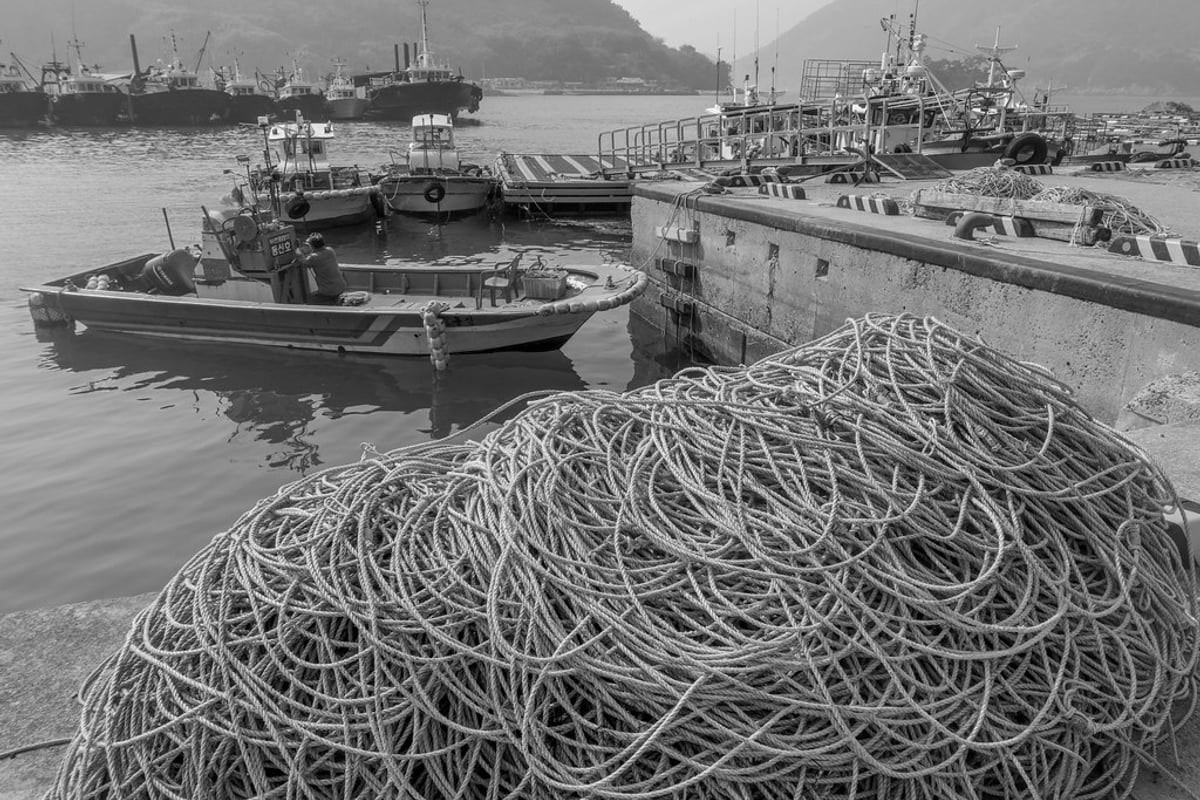
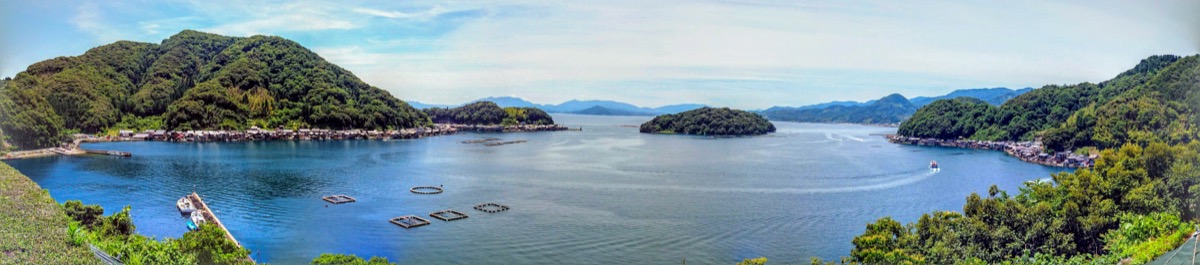
Sheltered harbor breakwaters and fishing vessels at Hamgumi Port marking the start of Bireong-gil Course 1. · Photo: Wikimedia Commons (CC BY-SA 4.0)
After landing at Yeocheon Port on the morning ferry from Dolsan Singi Port (25 mins, 5,600 KRW), ride the waiting island village minibus south to quiet Hamgumi fishing cove. Here colorful boats shelter beside rocky breakwaters right where wooden "Bireong-gil" Course 1 signage marks the cliff ascent.
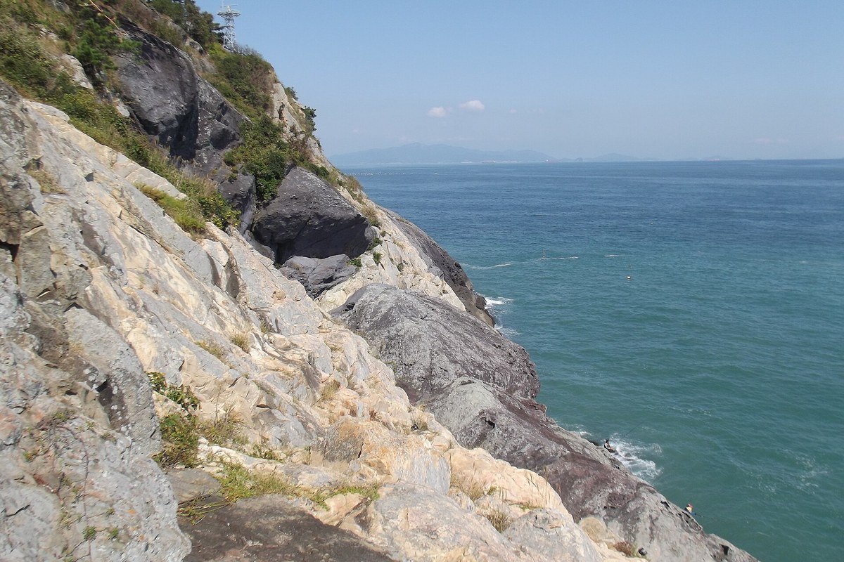
Vertical rock headland at Miyeok-bawi jutting boldly over turquoise South Sea waters on Course 1. · Photo: Wikimedia Commons (CC BY-SA 4.0)
Follow Course 1 through evergreen camellia tunnels and ancient dry-stone terrace walls until woodland clears abruptly at Miyeok-bawi—a vertical granite cliff plunging cleanly toward churning blue swells of the Korean South Sea across Dadohaehaesang National Park.
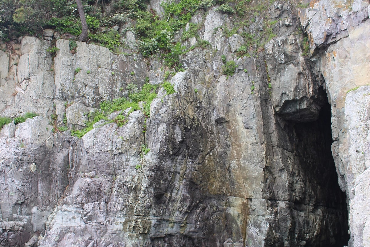
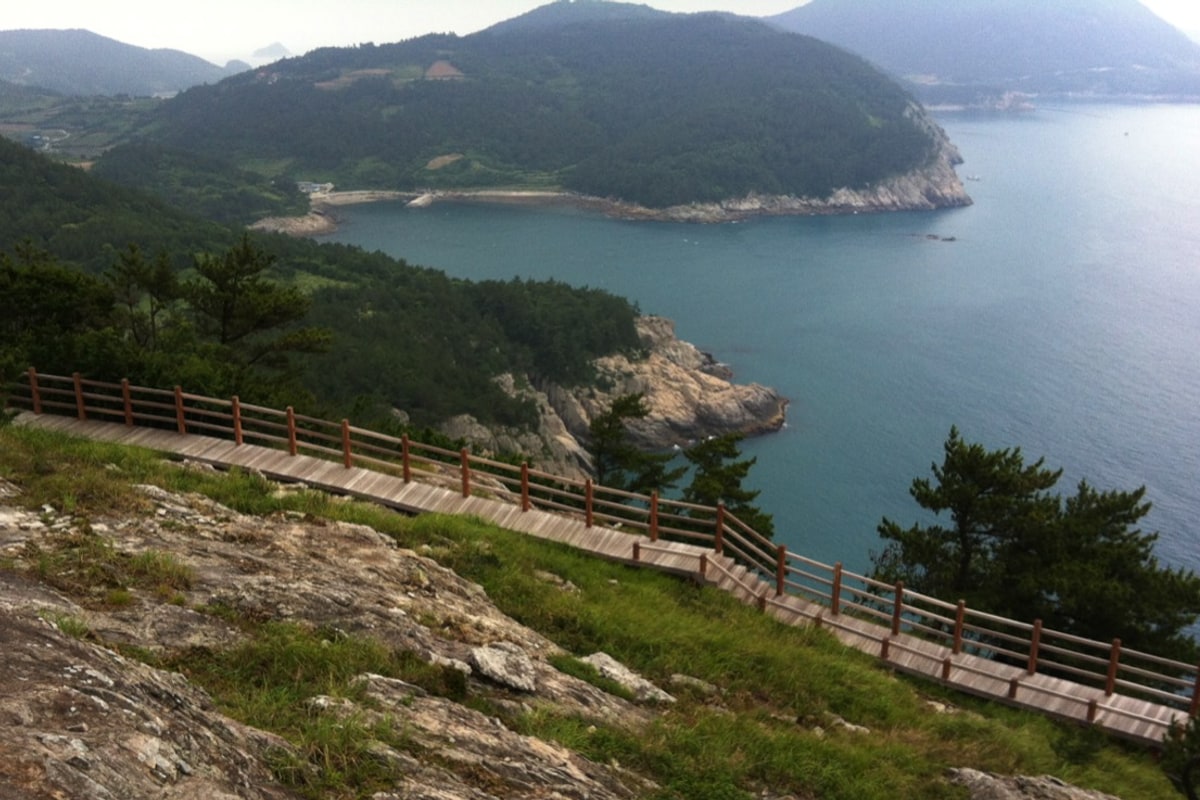
Elevated wooden cliff boardwalk clinging cleanly to vertical granite headlands on Course 3. · Photo: Wikimedia Commons (CC BY-SA 4.0)
Continue onto Course 3 (3.5 km between Jikpo and Hakdong)—widely praised as Bireong-gil's visual climax. Walk sturdy cantilevered wooden boardwalks pinned directly onto vertical granite escarpments and step across the iconic Bireong Suspension Bridge suspended calmly above steep sea-cut gullies.
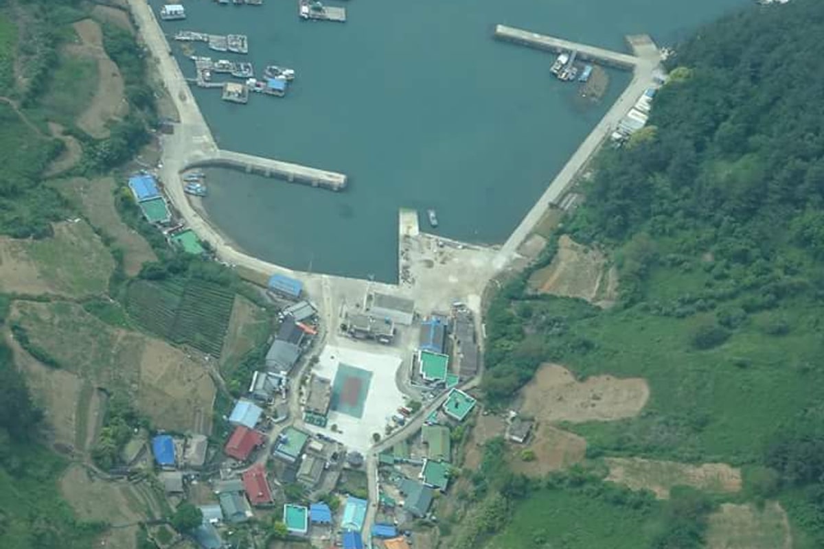
Elevated panorama from Maebong ridge looking across blue-green sea channels and outer island reefs. · Photo: Wikimedia Commons (CC BY-SA 4.0)
Climb wooden stairs rising cleanly above the cliff traverse onto Maebong Observatory, a breezy open ridge offering 360-degree panoramas southward over the Korea Strait toward distant Geomundo and straight down onto the distinctive crouching silhouette of Sea Lion Rock.
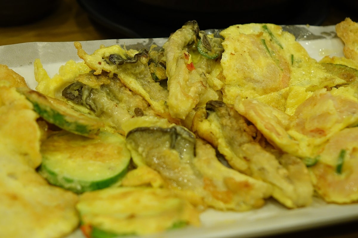
Crisp savory pancake prepared with wild Geumodo coastal bangpung herbs and fresh harbor seafood. · Photo: Wikimedia Commons (CC BY-SA 4.0)
Wrap up your island hike back near Jikpo or Yeocheon Port by stopping into a harbor-side kitchen for Geumo Island's signature culinary specialty: savory seafood pancakes packed with fragrant local coastal bangpung herbs (갯방풍), alongside fresh southern flatfish hoe and cool makgeolli rice wine before catching the afternoon boat back.
Interactive Location & Route Map
Many rural Asian landmarks don’t appear when searching English spellings in Google Maps. Click any numbered stop on the map below or tap the button above to open the exact latitude/longitude pin on your phone.
Frequently Asked Questions
How do travelers reach Geumodo from Yeosu without a car, and what is the ferry fare?
Ride Yeosu city bus 111/116 (or taxi) down Dolsan Island to Singi Ferry Port (신기항). Buy a 5,600 KRW one-way passenger ticket (passport mandatory!) for the 25-minute crossing to Geumodo's Yeocheon Port (여천항), where rural minibuses wait right off the ramp to connect hikers to Hamgumi or Jikpo.
Which Bireong-gil courses are best if visiting for just one day?
The full 5-course trail totals 18.5 km (~8.5 hrs), too long to finish on a day trip with ferry windows. Prioritize Course 1 (Hamgumi to Duryongpo, 5.0 km, ~2 hrs) for dense camellia slopes and Miyeok-bawi cliffs, plus Course 3 (Jikpo to Hakdong, 3.5 km, ~1.5–2 hrs) for the dramatic cantilevered cliff skywalk, suspension bridge, and Maebong Panorama.
Field Verification & Non-Sponsored Standards
This travel dispatch was researched exclusively through public transport (trains, local branch buses, ferries) and foot exploration. Uncharted Asia accepts zero commercial sponsorships, free stays, or sponsored meals. Timetables, fare gates, and mountain trail conditions are independently verified against physical operator timetables. Learn more in our Editorial Methodology.