Sangkhlaburi & the Mon Bridge: Handmade Wooden Span and Sunken Temple on Thailand’s Border
Cross the 445-meter handmade Uttamanusorn wooden bridge at dawn, join quiet Mon almsgiving, and ride longtail boats across Vajiralongkorn Reservoir to sunken brick temple ruins near the Myanmar border.
Field Warnings & Critical Traps to Avoid
Highway 323 border passport checks, seasonal reservoir flooding, and 06:45 AM alms cutoff.
Mandatory Original Passport for Highway 323 Military Checkpoints
Sangkhlaburi lies minutes from Three Pagodas Pass on the Myanmar frontier. Thai military and border police inspect vehicles multiple times along Highway 323; never leave your physical passport stored back in Bangkok or Kanchanaburi luggage.
Sunken Temple Ruins Go Completely Underwater in Monsoon Months
Only during dry low-water months (typically March through early May) do Vajiralongkorn Reservoir levels fall enough for travelers to step onto the cracked clay banks and walk inside the original temple bricks. During high flood months (July–November), boats float directly above submerged roofs and ruins.
Dawn Mon Almsgiving Ends Early Around 06:45 AM & Severe Highway Curves
Barefoot monks collect morning alms from roughly 06:00 AM until ~06:45 AM— arriving after 07:15 AM means quiet empty bamboo mats. Also take motion sickness medicine ahead of Highway 323's winding 300+ switchbacks up from Kanchanaburi.
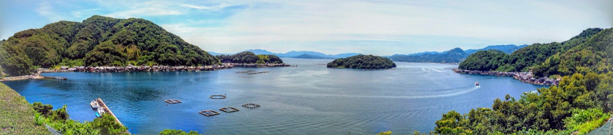
Deep in northwestern Kanchanaburi just shy of Thailand’s Three Pagodas Pass border with Myanmar, Sangkhlaburi sits where three mountain rivers meet inside Vajiralongkorn Reservoir. Spanning roughly 445 meters across the Song Kalia River—the longest handcrafted wooden bridge in Thailand—Saphan Mon (Uttamanusorn Bridge) links Thai riverside guesthouses with the quiet Mon refugee settlement of Ban Wang Ka. Built manually between 1986 and 1987 under revered abbot Luang Pho Uttama (and rebuilt faithfully in 2014 after severe flood damage), the wooden boardwalk comes alive every morning before dawn.
Plan at least 2 days and 1 night, riding overland AC minivans ~3.5 to 4 hours uphill from Kanchanaburi Bus Terminal along mountainous Highway 323 (~300+ sharp bends—carry motion-sickness tablets and your original physical passport for mandatory Thai border-security checkpoints).
Step onto the Mon village lane around 06:00–06:15 AM before almsgiving concludes at ~06:45 AM: barefoot monks receive sticky rice from villagers wearing floral sarongs and cooling Thanaka tree-bark paste on their cheeks. By mid-morning, hire a cooperative longtail boat (~300–500 THB per boat) across the confluence to Wat Saam Prasob (the original Old Wat Wang Wiwekaram flooded when Khao Laem Dam closed in 1984—completely submerged during July–November rains yet exposed enough for dry-land walks in March–May), then conclude overland at the relocated hilltop Wat Wang Wiwekaram and golden Chedi Buddhagaya replica stupa.
Step-by-Step Visual Route & Timestamps
Follow our exact on-the-ground walking pace and timestamps. Click any photo or stop title to open rich multi-photo galleries, field tips, and expanded logistical guides.
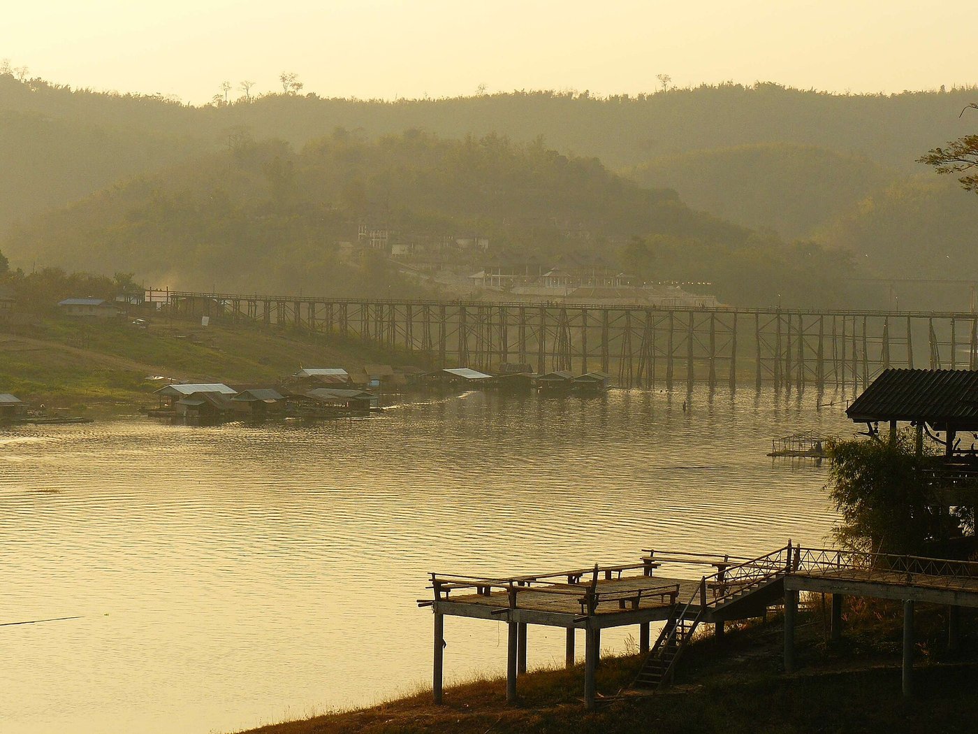
Dawn mist drifting past the 445-meter handmade wooden structure of Mon Bridge linking Thai and Mon riverbanks. · Photo: Wikimedia Commons (CC BY-SA 4.0)
Step onto Saphan Mon (Uttamanusorn Bridge) right around dawn. Measuring roughly 445 meters across the Song Kalia River, this handcrafted wooden bridge connects Thai Sangkhlaburi town with Ban Wang Ka Mon village—where local residents balanced in floral sarongs carry food vessels smoothly on their heads to kneel for morning almsgiving (typically wrapping up by 06:45 AM).
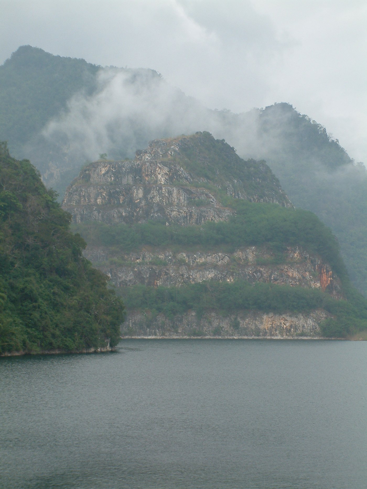
Brick belfry and weathered sanctuary walls of the 1984-flooded Sunken Temple rising above reservoir waters. · Photo: Wikimedia Commons (CC BY-SA 4.0)
Charter a wooden longtail boat beneath the Mon Bridge across Vajiralongkorn Reservoir to see the original Old Wat Wang Wiwekaram—known today as Wat Saam Prasob or "Muang Badan" (Sunken City). Flooded when Khao Laem Dam closed in 1984 at the confluence of three border rivers, the weathered red brick ordination hall and bell tower disappear beneath high rainy-season waters before re-emerging onto walkable mud plains each March–May.
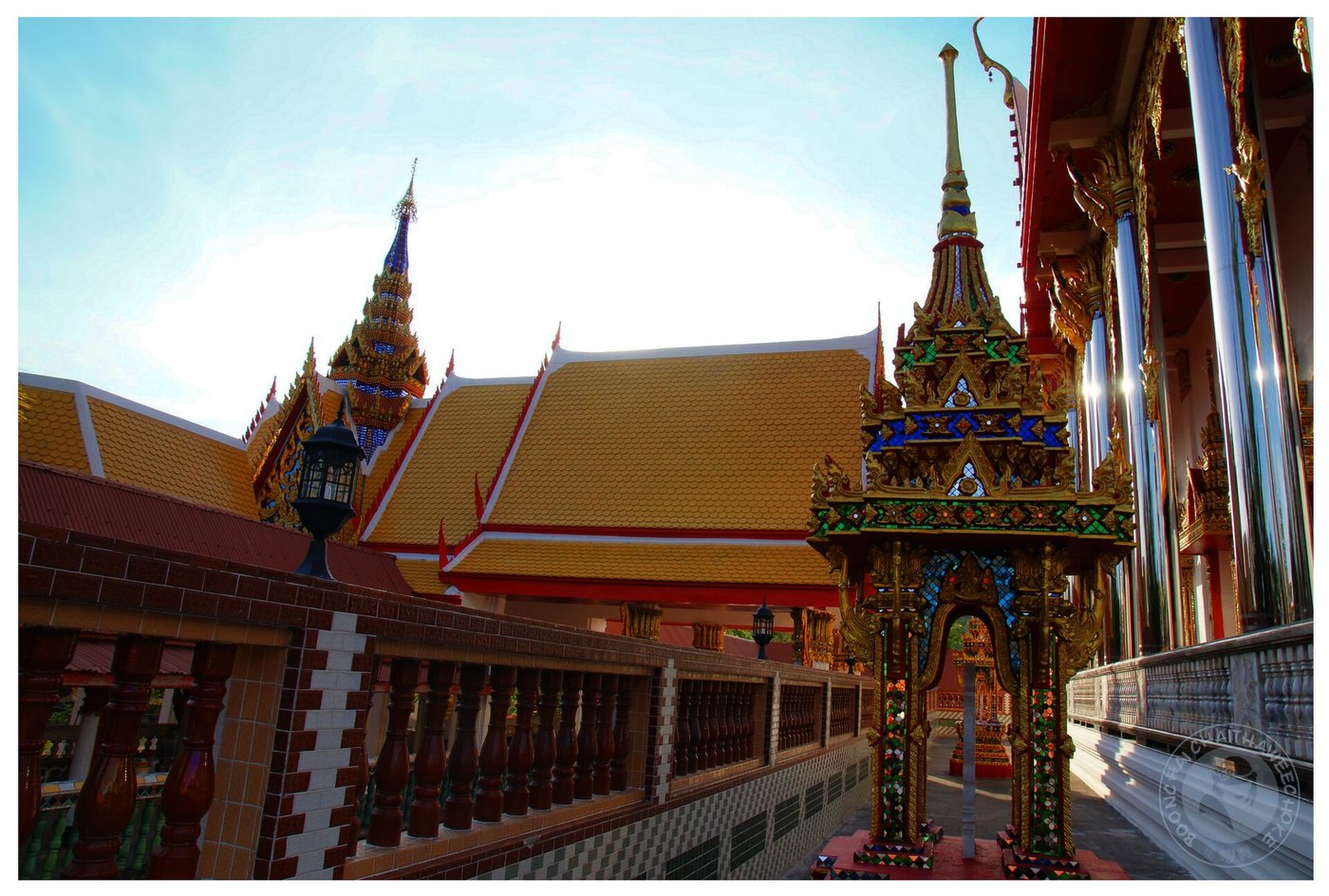
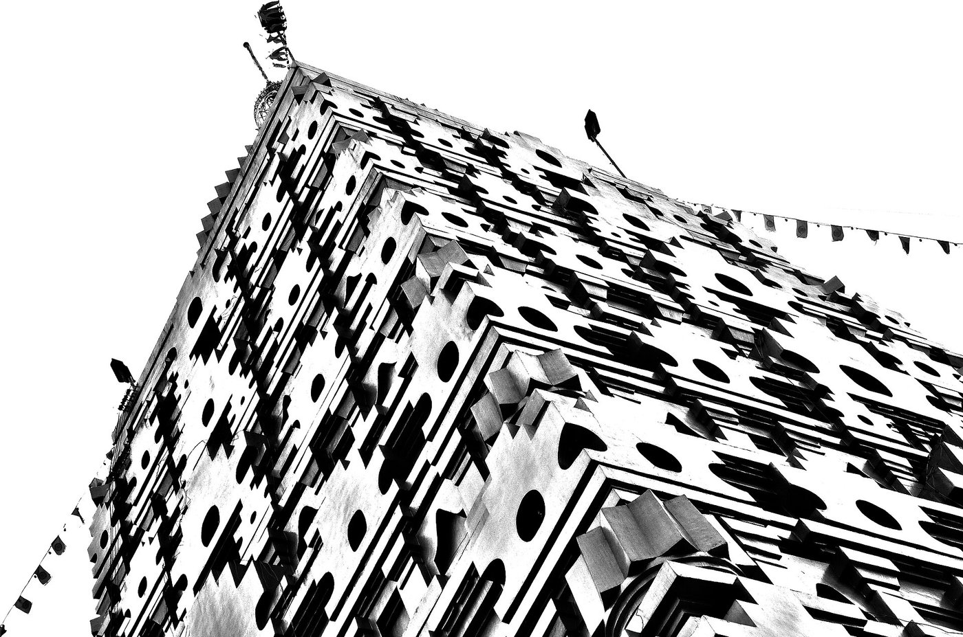
Golden tiered facade of Chedi Buddhagaya standing on elevated ground built for Sangkhlaburi's Mon community. · Photo: Wikimedia Commons (CC BY-SA 4.0)
Ride inland ~2 km onto higher ground to visit the relocated Wat Wang Wiwekaram monastery and nearby Chedi Buddhagaya—a soaring golden square stupa modeled directly after India's Mahabodhi Temple in Bodh Gaya, flanked by shaded handicraft stalls selling handwoven Mon textiles, wooden crafts, and warm Burmese tea snacks.
Interactive Location & Route Map
Many rural Asian landmarks don’t appear when searching English spellings in Google Maps. Click any numbered stop on the map below or tap the button above to open the exact latitude/longitude pin on your phone.
Frequently Asked Questions
What is the best month to walk inside the Sunken Temple on dry ground?
Reservoir levels usually reach their lowest point from March through early May (peak dry season), allowing longtail boats to beach safely beside dry brick foundations so visitors can walk inside the abandoned hall. During mid-July to November monsoon flooding, most of the temple sits submerged.
How long is the Mon Bridge, and is Highway 323 safe for travelers?
Saphan Mon stretches approximately 445 meters across the Song Kalia River— the longest wooden footbridge in Thailand. Sangkhlaburi and Highway 323 are completely calm and safe for tourists, though you MUST bring your original passport for border checkpoints and pack motion-sickness pills for the 300+ winding mountain curves.
Field Verification & Non-Sponsored Standards
This travel dispatch was researched exclusively through public transport (trains, local branch buses, ferries) and foot exploration. Uncharted Asia accepts zero commercial sponsorships, free stays, or sponsored meals. Timetables, fare gates, and mountain trail conditions are independently verified against physical operator timetables. Learn more in our Editorial Methodology.