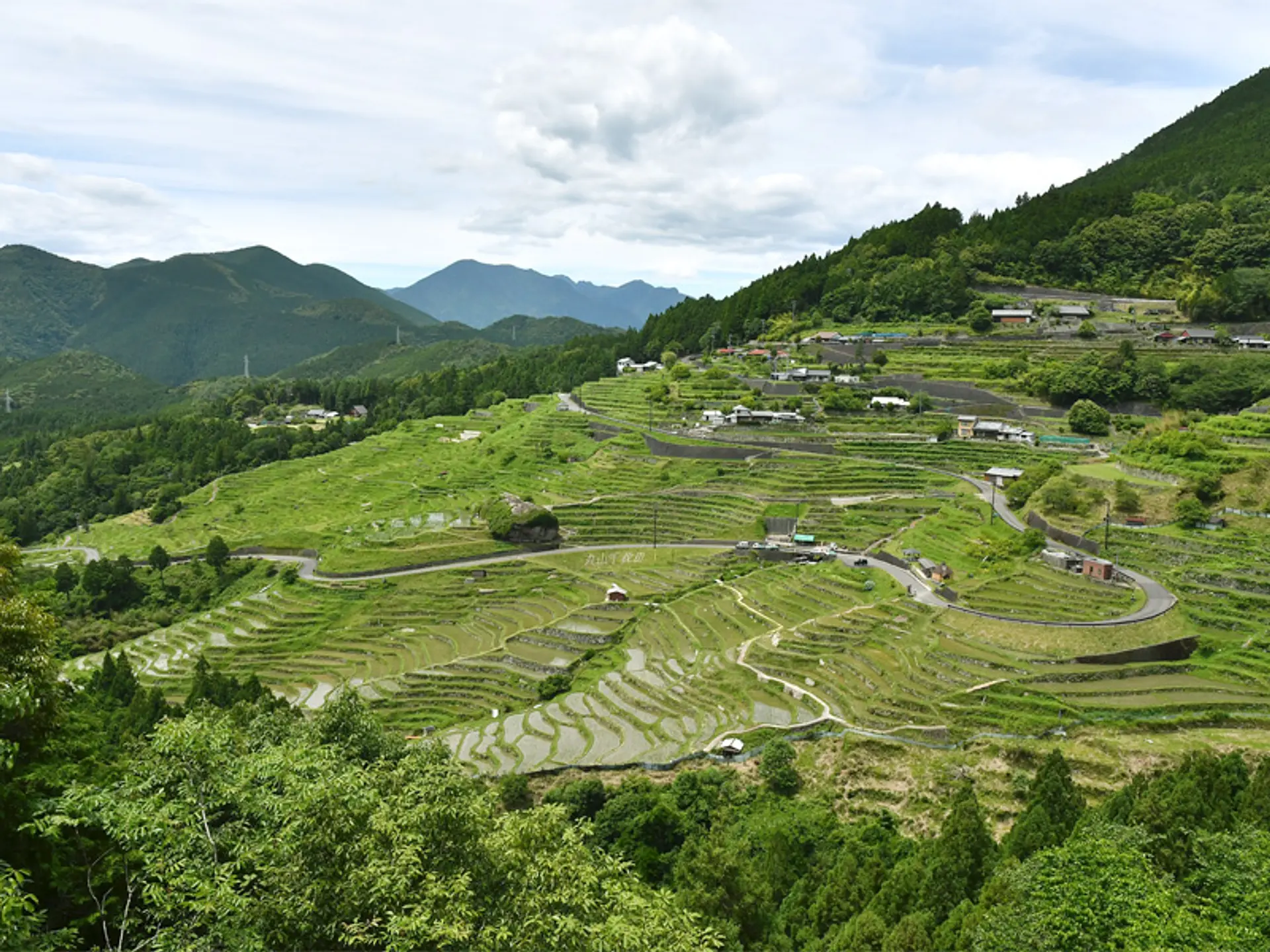
Nan & Pua Valley: Terraced Rice Fields, Mountain Passes, and Tai Lue Craft
Sheltered east of Nan city along Highway 1080 toward the Laos border, Pua pairs seasonal valley rice paddies and Doi Phu Kha ridges with living Tai Lue weaving heritage.
Field Warnings & Critical Traps to Avoid
Transit connections, seasonal operating restrictions, and on-site etiquette reminders.
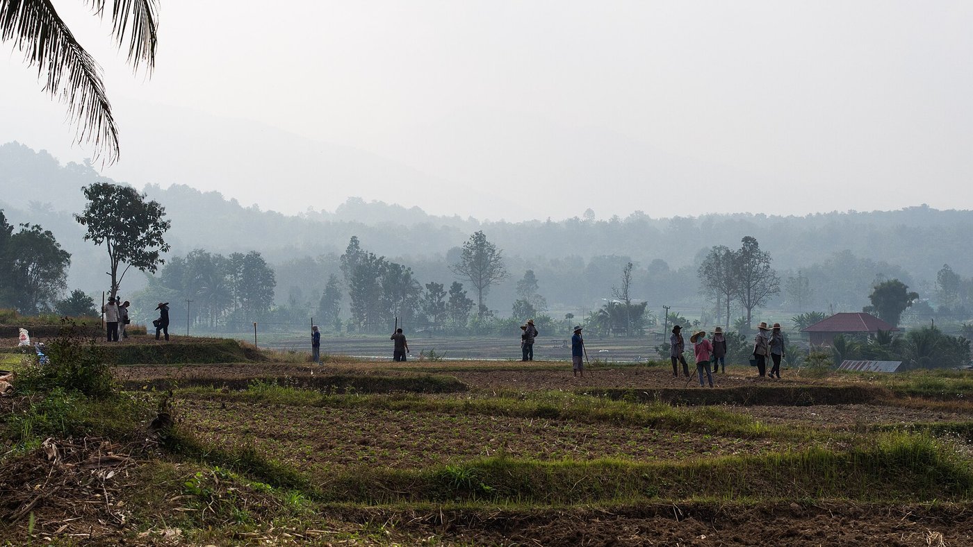
Rice Paddies Shift from Monsoon Green to Brown Stubble After Harvest
Green paddy landscapes below Wat Phuket exist only during the rainy growing months (July–October), turning golden in late October before harvest leaves brown dry fields from December through May.
Police Checkpoints on Highway 1080 Verify Physical IDP
Traffic checkpoints along Highway 1080 and mountain intersections routinely inspect foreign riders. Carry your passport copy and a physical International Driving Permit stamped for motorcycles to avoid on-the-spot fines.
Little English Signage in Rural Pua Villages
Outside larger resorts, local Tai Lue weaving shops and Khao Soi stalls rarely carry English signage. Download offline Thai in your translation app before setting out.
Sheltered at roughly 300 meters elevation north of Nan city, the Pua Valley sits beside the forested ridges leading toward Laos. Highway 1080 carries travelers 60 km north from Nan town in about an hour to Wat Phuket, a hilltop neighborhood temple built on a low rise overlooking patchwork farm fields, tiled village roofs, and the foothills of Doi Phu Kha National Park.
Seasonality & Tai Lue Living Craft
Landscapes around Pua change sharply across the agricultural calendar. Rainy monsoon months from July through October fill terrace basins with vibrant green stalks, turning golden ahead of late-October and November harvests before leaving open brown stubble and plowed plots during the cool dry season from December to May. Off the main fields, Tai Lue weaving workshops adjacent to local cafes keep alive supplementary-weft cotton craft with sharp chevron and diamond motifs brought south from southern Yunnan.
Road Loop Logistics
- Getting Around: Fly from Bangkok Don Mueang to Nan Nakhon Airport (NNT) or take an overnight express coach from Chiang Mai or Bangkok to Nan terminal. Rent a car or 125cc+ scooter with an International Driving Permit stamped for motorcycles, as roadside police checks along Highway 1080 are frequent.
- Highway Loop: Pair 60 km north on Highway 1080 (Nan to Pua) with the steep eastbound climb along Highway 1256 across Doi Phu Kha to Bo Kluea’s ancient salt wells, then loop back south toward Nan city via Highway 1081 through Santisuk.
- Timing Your Stopovers: Roadside stalls serving slow-braised pork knuckle, crisp pork rinds, and blistered green chili dip (Nam Phrik Num) often sell out by mid-afternoon, and mountain roads along Route 1256 turn completely dark after 18:00.
Step-by-Step Visual Route & Timestamps
Follow our exact on-the-ground walking pace and timestamps. Click any photo or stop title to open rich multi-photo galleries, field tips, and expanded logistical guides.
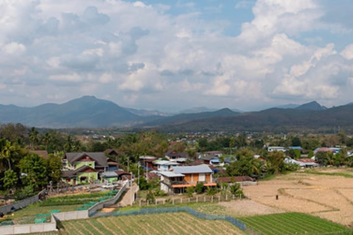
Broad outlook over Pua Valley's farm plots, village roofs, and Doi Phu Kha foothills from the hillside approach. · Photo: Wikimedia Commons (CC BY-SA 4.0)
Sitting on a low rise in Pua District, Wat Phuket (named after Doi Ket hill rather than southern Phuket island) opens onto wide terraces overlooking valley rooftops, fallow plots, and Doi Phu Kha's ridges.
View Author’s Original Field Note
08:30 從難府開車約一小時抵達普吉寺,寺名常讓人誤以為在海島,從高台看出去是整片開闊的山谷農田和村莊屋頂。
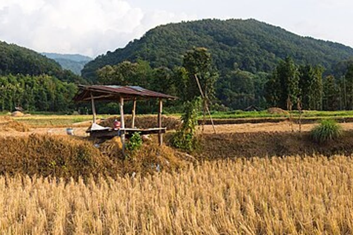
A traditional open-sided wooden paddy hut standing amid dry-season golden stubble beneath wooded hills in Pua. · Photo: Wikimedia Commons (CC BY-SA 4.0)
Below Wat Phuket hill, elevated boardwalks and farm paths wind past wooden field shelters where Tai Lue families serve single-origin Nan pour-over beside green monsoon crops or golden dry stubble.

Close-up of traditional Tai Lue supplementary-weft cotton weave displaying tightly worked crimson, indigo, and gold chevrons. · Photo: Wikimedia Commons (CC BY-SA 4.0)
Adjacent to the paddy cafes, Tai Lue weavers preserve supplementary-weft handloom craft using natural plant-dyed cotton threads patterned in bold chevrons, diamonds, and traditional water motifs.
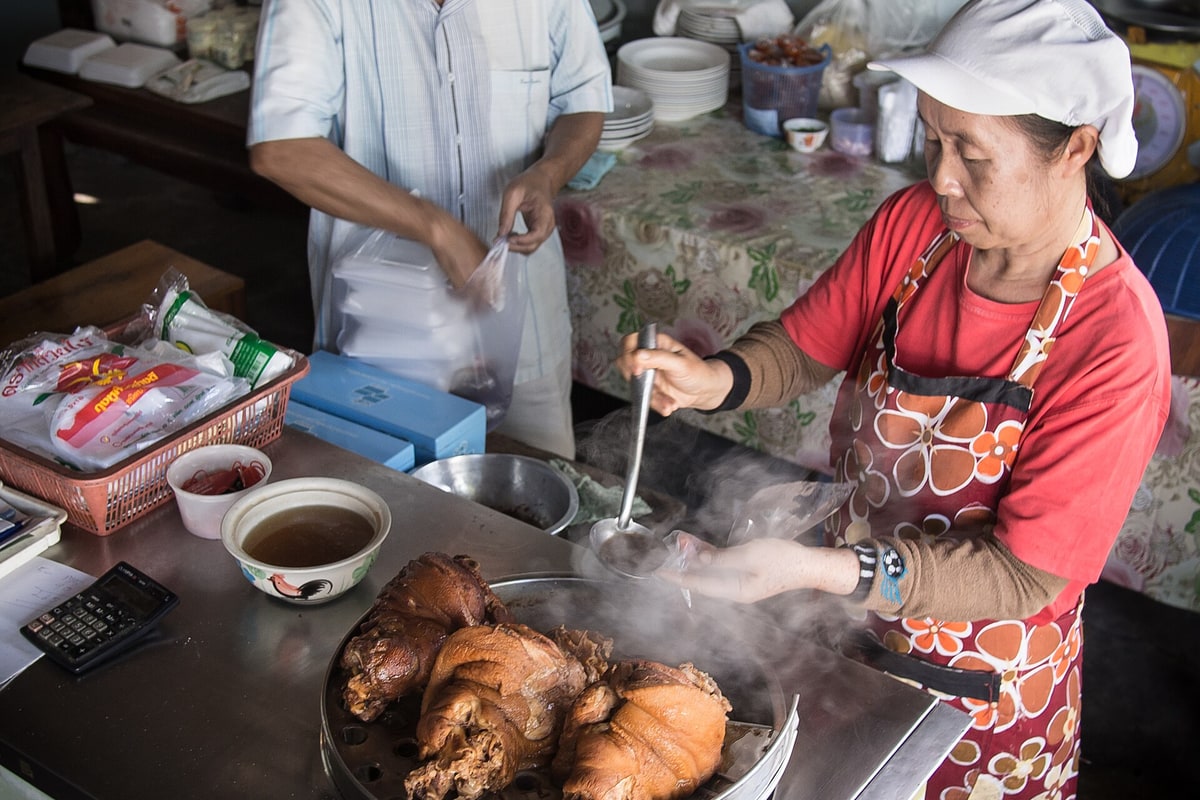
Vendor at a Pua town food stall portioning steaming slow-braised pork knuckles and savory five-spice broth. · Photo: Wikimedia Commons (CC BY-SA 4.0)
Head back to central Pua's small family eateries and food stalls for slow-braised northern pork knuckle packed warm into broth bags alongside roasted green chili dip and puffed pork cracklings.
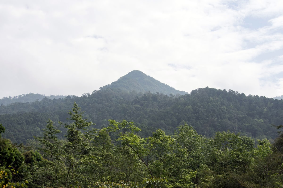
Green forested conical summit in the Doi Phu Kha foothills under overcast afternoon cloud cover east of Pua. · Photo: Wikimedia Commons (CC BY-SA 4.0)
Follow Highway 1256 east from Pua into forested foothills where steep green summits overlook the river-carved rock canyon of Wang Sila Laeng in Sila Laeng subdistrict.
Interactive Location & Route Map
Many rural Asian landmarks don’t appear when searching English spellings in Google Maps. Click any numbered stop on the map below or tap the button above to open the exact latitude/longitude pin on your phone.
Frequently Asked Questions
Why does Nan receive far fewer international tours than Chiang Mai?
Mountain barriers on three sides and the absence of a national railway line kept Nan isolated from large coach circuits for decades, preserving a quiet rural pace across Pua and Bo Kluea.
Which highway numbers connect Nan, Pua, Doi Phu Kha, and Bo Kluea?
Take flat Highway 1080 north from Nan city to Pua (60 km, ~1 hr), climb east across Doi Phu Kha on Highway 1256 toward Bo Kluea (~45 km), and return south via winding Highway 1081 through Santisuk for a scenic loop.
Field Verification & Non-Sponsored Standards
This travel dispatch was researched exclusively through public transport (trains, local branch buses, ferries) and foot exploration. Uncharted Asia accepts zero commercial sponsorships, free stays, or sponsored meals. Timetables, fare gates, and mountain trail conditions are independently verified against physical operator timetables. Learn more in our Editorial Methodology.